

Date: 12th August 2026
Start: Pen-y-Pass
End: Pont Bethania
Distance Travelled: 13.57km
Song Currently Stuck in Head: nothing, was locked in for the entire duration of the hike
Apart from a few weekends away and the couple 1.5 week trips I’ve taken to the Grampians and Tassie, the last big holiday I’ve had was the TA nearly 3 years ago– wait, 3 years??? Where has all the time gone???
Anyway, existential crisis aside, a bit over a year ago I found myself bored at work lacking motivation in quite a similar manner that led to me going on the TA. I wanted to go travelling again, but this time as more of a “normal” holiday versus backpacking down or up or across the length of a country. I quickly set my eyes on Europe. Over the course of a good decade and a half of obsessive research and just being chronically online, I’d developed a pretty comprehensive database in my brain of places and things I’d like to go and do over there. Plus, it’d be a great chance to catch up with my TA buddies! Now it was just a case of putting it all together into one insanely detailed spreadsheet with a minimum of 3 drafts showing every flight/train/bus I’d take, every activity I planned on doing, and every hotel I’d stay at.
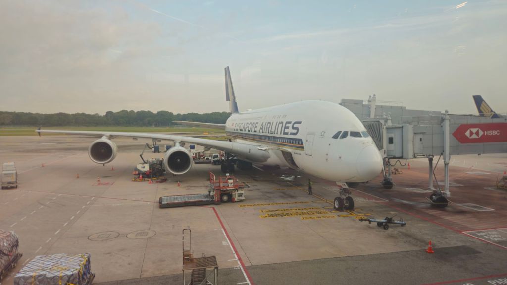
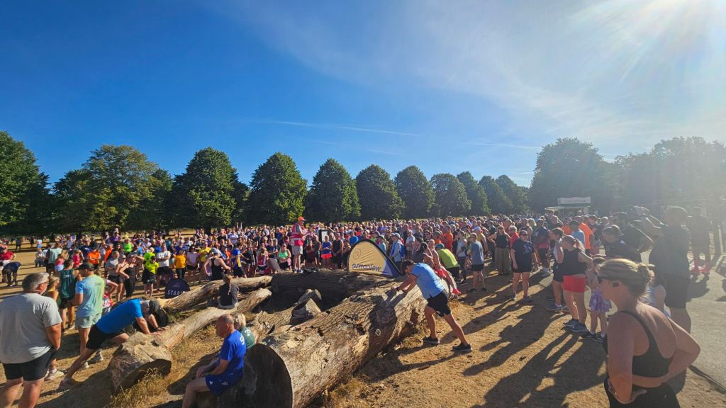
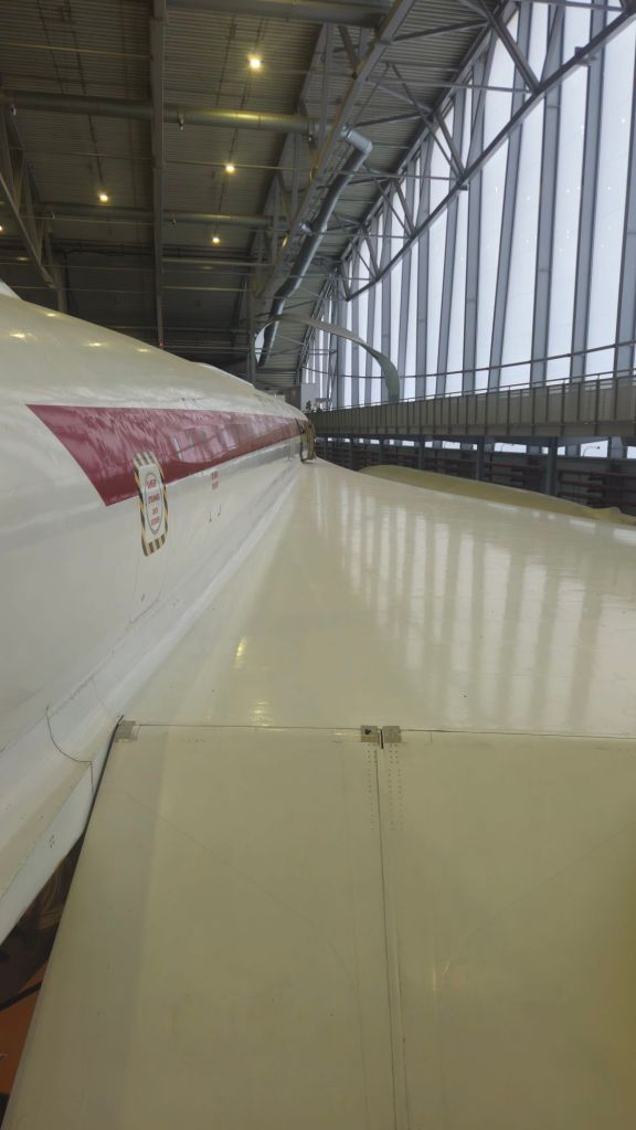
This process took way less time than I care to admit – shout-out to my hyperfixating brain (there’s definitely something worth diagnosing up there) – but I eventually locked in a 6 week trip visiting the UK, Norway, Italy, and Switzerland. Sadly there would not be a chance to catch up with Melly as she had already planned her own adventure in Canada at the same time. Oli, however, was available, so it’ll be great to see him again in his homeland. I could go on at length at why I specifically chose these four countries to visit, but y’all are here to read about the poor choices I make when hiking, not the logistics that I take in planning these trips! Don’t worry, I hear you, but before we do so, here’s a quick photo montage of what I did before the first of many Euro-tramps I’d be taking.


Cool, now that’s out of the way, croeso i Cymru! After a very scenic train journey up the Cambrian Coast, I set up shop in the town of Porthmadog. I wouldn’t have long in Wales, only 2 full days so I wanted to make the most of my time. My first day was spent on the Welsh Highland Railway, a heritage line between Porthmadog and Caernarfon, an equally lovely Welsh town that is also home to a castle.

The next day would be the main event, a traverse of the tallest mountain in Wales: Snowdon. Now, there are 6 official paths leading to the summit of varying lengths, difficulty, and popularity. Of course, I had opted for the hardest and most remote paths when planning this hike, these being the Watkin and Rhyd Ddu (pronounced reed-thee; Welsh is really confusing) paths, respectively.
Then I made what some may call a critical error: I kept digging, kept researching, and I found another way up the mountain that isn’t listed on the maps, a scramble route called Crib Goch. It looked hard, exposed, dicey, and had all the makings for an awesome day out. But, I made a note that I would only attempt it if conditions were perfect; no rain, good visibility, low winds.
Guess what conditions I woke up to?
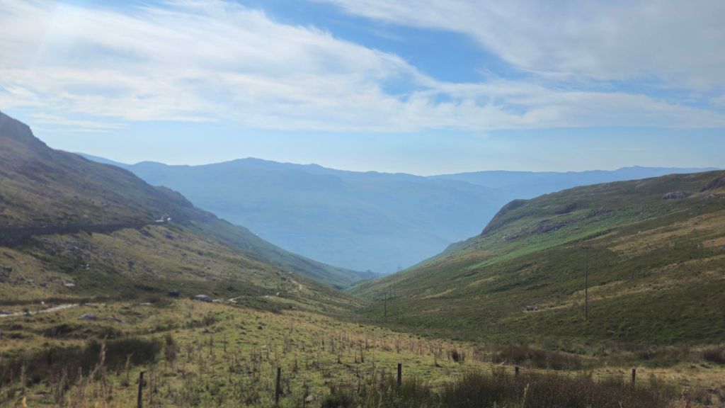
All boxes were ticked, guess we’re doing this. I mean, this is completely optional, no one is forcing me to do Crib Goch, no one I can blame if things go wrong.
With those thoughts put aside, I boarded a bus from Porthmadog that took me straight to the trailhead at Pen-y-Pass, beginning the climb on a section of the Pyg Track.

I probably overcooked myself a bit on this first section, as yes it was just a path and didn’t give much of a technical challenge, it was still a decent climb to the turn-off onto Crib Goch. Guess we can just put thay down to a mixture of a full tank of energy boosted by a lot of excitement for the first hike of the trip.
After about 20-30 minutes I reached a slate wall that marked the turn-off onto the Crib Goch route. Feeling strong, I had a quick snack break whilst reading the “why on Earth are you going this way” warning signs. I am going this way, Mr Sign-writer, because I’m feeling silly and I want some awesome mountain views.

Oddly, the start of the track… is just a track. It’s only a wee bit higher than the one I was just on and doesn’t really match the imminent doom I was promised on the warning signs.
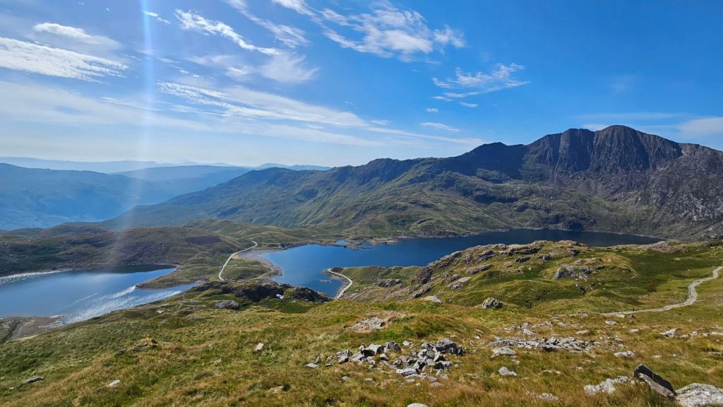
Ok, admittedly that part didn’t last all that long, because the track led to what was essentially the side of a cliff. A cliff that I was supposed to go up and over.

I guess this is what I signed up for, so up we go. There were already a few other hikers already part of the way up so without a marked route I did my best to follow their moves. The rock was super grippy with plenty of handholds and it never felt overly dangerous. You still have to be locked in and be intentional with each move you make, but in a relatively short amount of time I was at the top of this first boulder problem (not quite at the same level of magnitude as the one Alex Honnold faced on El Cap, mind you).
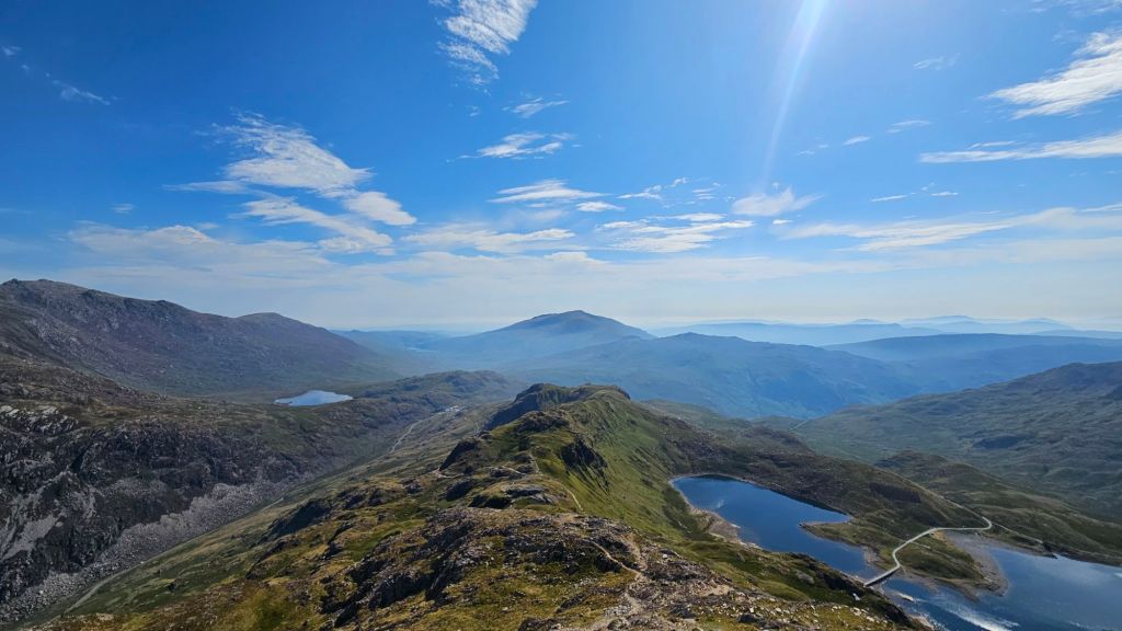
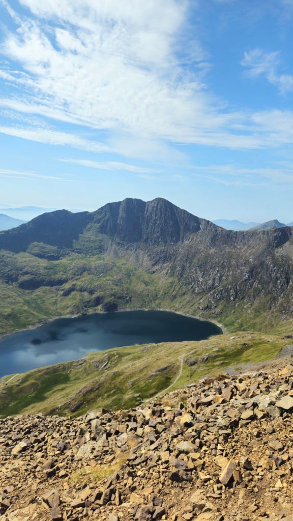
Greeting me on the far side was a ridge known as The Spine. A narrow band of rocks with pretty nasty drops on either side. A few of the hikers ahead of me weren’t having the best of times across it, gingerly placing their feet on each rock, never quite trusting it don’t give way beneath them. I don’t blame them, there’s no benefit being reckless up here, and I was happy to patiently wait behind until there was a safe spot to pass.
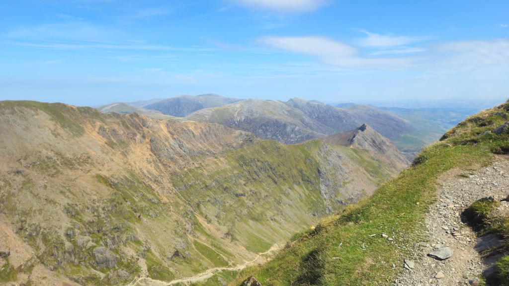
One benefit to the stopping and waiting was that I had more time to take in the scenery. And what scenery we had.
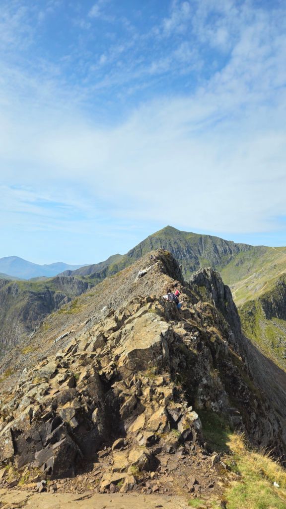
There’s no chance I would’ve done this route in anything apart from these conditions, both from a safety perspective, but also because the uninterrupted 360 degree views are one of the main selling points of this route. From atop the spine I could see clearly all the way to the Welsh coast where I was the day prior.
The Spine itself is quite short, and after a slightly sketchy descent I was back on a normal path for all of about 400m. The came the three Pinnacles. Essentially three distinct boulder problems that had to be tackled. Well, when I say “tackled”, the first two can be easily avoided, the third not so much. It was a short but sharp near vertical scramble over the rock, good fun but you had to have your wits about you.

There were a couple more scrambly bits, but soon I could see the path leading up to Snowdon’s summit. Before reaching it, I had one last look back at what I had just come over.
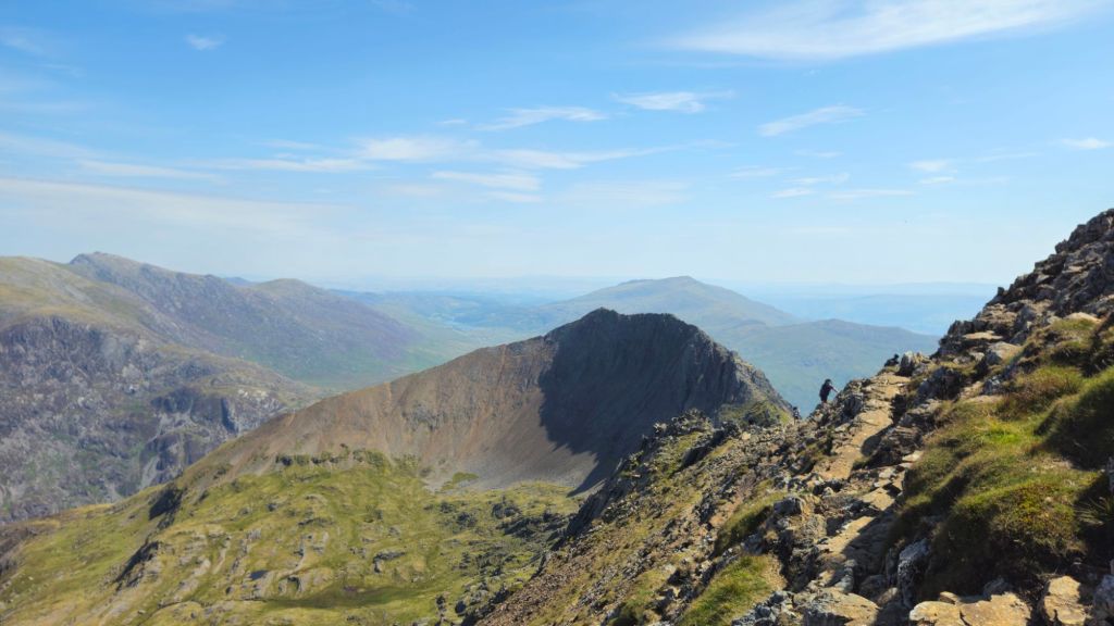
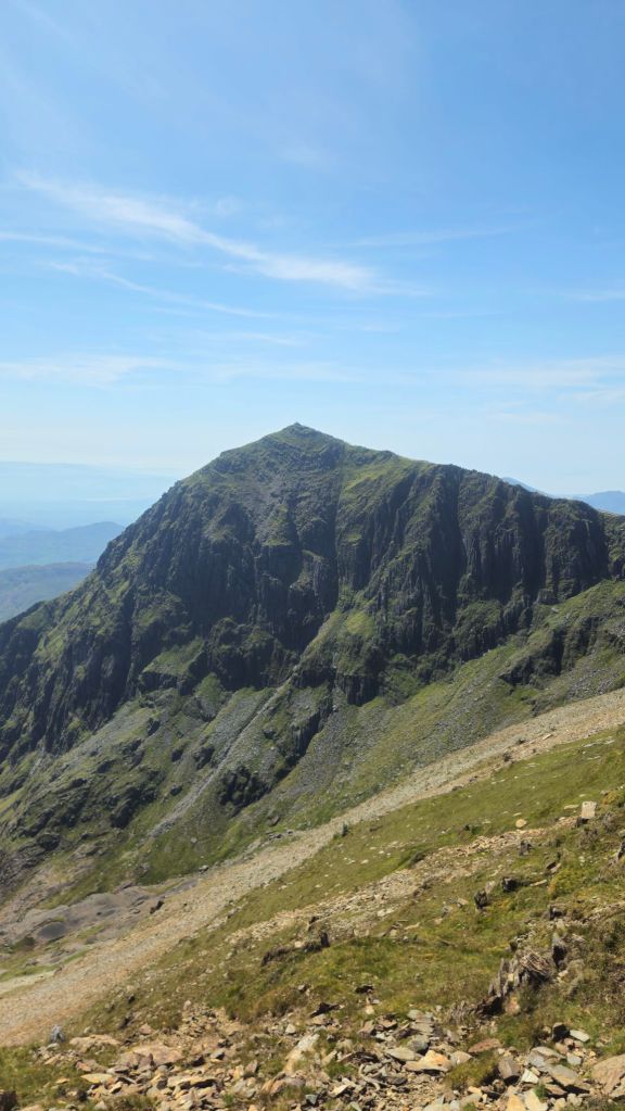
Crib Goch connects up with the Llanberis Path, the easiest and most popular of the summit tracks. And when I say popular, descending from Crib Goch, I saw a steady stream of hundreds of people walking up to the top of Snowdon. School holidays, good weather, can’t really blame them, although I did miss the relative isolation of the route I was just on.
In fact, not only is there a path from Llanberis, there’s a whole rail line too!
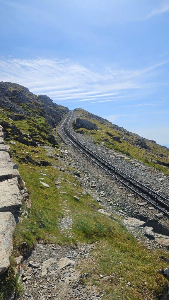
The summit was, to put it mildly, a bit chaotic. Dozens of families had taken up residence to have lunch after their walk, and leading up to the summit cairn itself was an actual queue of people waiting to take photos. That was certainly a first. Oh, and it was also swarming with flies. Needless to say, I spent maybe 10 seconds by the cairn to grab a very quick photo before dropping down a bit to have my own lunch.
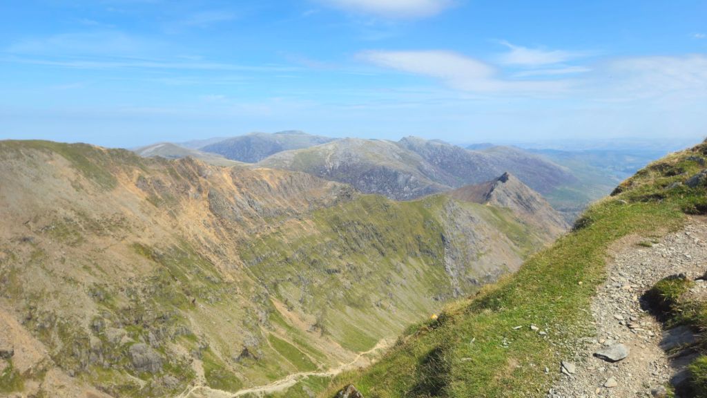
Even above 1000m it was pretty hot and, as I realised to my horror on the bus from Porthmadog, I forgot to pack sunscreen. And my skin was already looking a bit red. And I was running out of water. And there were no taps to refill bottles to be seen. Right, this descent is gonna hurt, not least of which because I chose to do the longest and hardest track off the mountain: the Watkin Path. Again, no one forced me to, this was all of my own volition. Can’t blame anyone but myself.
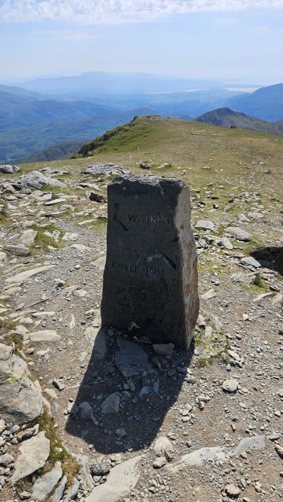
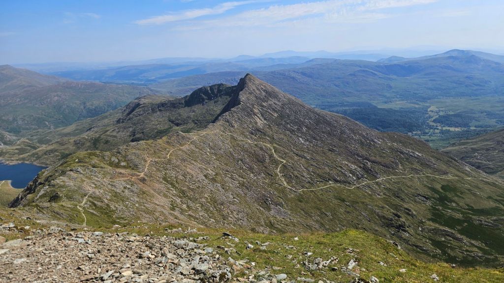
For a proper path, it started off being rather sketchy, but soon levelled off a bit and from there it was smooth sailing the rest of the way. I did meet a few groups of people heading up to the top which I found odd as it was now coming up to 3pm which is 1: late and 2: the hottest part of the day. Speaking of which, I was now properly roasting. First thing to do when I’m back in town, buy a bottle of aloe vera gel.
Otherwise there’s nothing much of note on the Watkin Path that I haven’t already spoken about. The main highlights were the ruins of some old, er, structures of some description.
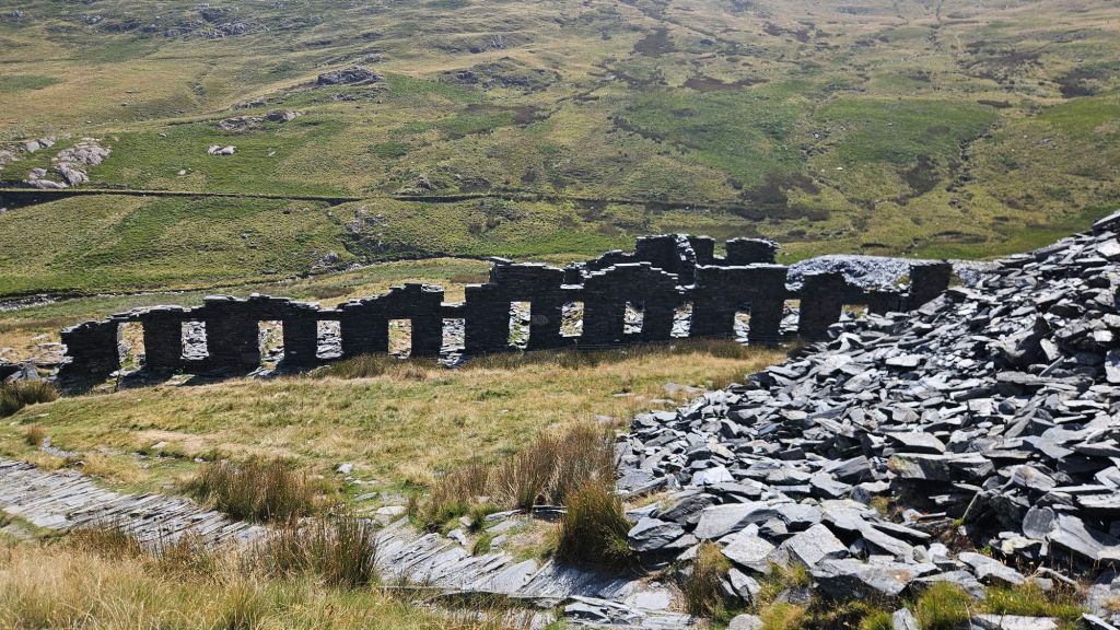

I made a brief stop by the creek in the picture above just to moisten my arms which felt absolutely joyous. Further down, the creek goes over a cascading waterfall and there must’ve been hundreds of people swimming in the pools between the cascades. They’re the smart ones, choosing a cool, refreshing activity during a heatwave versus me, doing the exact opposite.
On the plus side for me, I caught a glimpse of the first trees I had seen all day on this trail.

Exhaustion was now setting in so I beelined it down the mountain for the last couple kilometres, finally reaching the road and bus stop home, only to discover I had a half hour wait ahead of me.
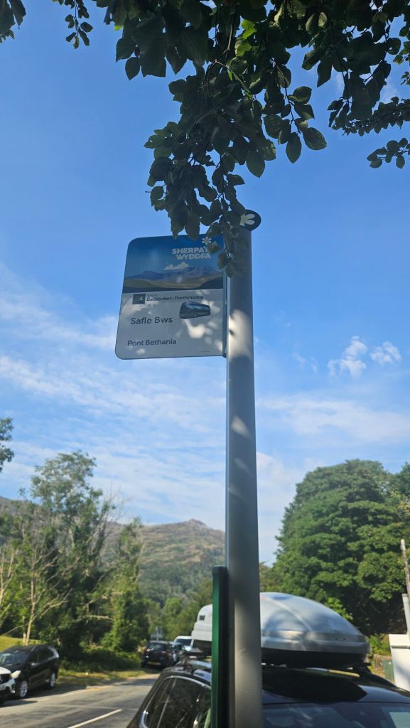
Ah well, it could be worse. Oh wait, my B&B in Porthmadog has no AC. All I wanna do is cool off, man!
Thankfully there was a tap at the carpark next to the bus stop so I could at least get some water. The wait ended up flying by and I was back in town pretty quickly. I dragged my decrepit body around Tesco until I found some aloe vera, taking it back to my accommodation to find out the owners had opened a window whilst servicing the room, so it was nice and cool!
And with that, hike #1 was finished. Next time I’ll remember to pack sunscreen.


Leave a comment