
Dates: 24th-26th August 2026
Start: Finse Station
End: Vassbygdi
Distance Travelled: 53.26 km
Number of Times I said “Wow”: 1,241 (definitely didn’t make that up)
Perhaps I should’ve just spent my entire trip touring round Scotland. Lovely, peaceful country (tourist-heavy Edinburgh notwithstanding), challenging mountain climbs, what’s not to like?
Well, I did come here to tour Europe, not just the British Isles, so the day after finishing my hike through the Cairngorms, it was time for another of Jono’s Crazy Travel Days™. After parkrun in Aviemore, of course. Technically I guess this would be two crazy days of travel, so I’ll give you the rundown. We have:
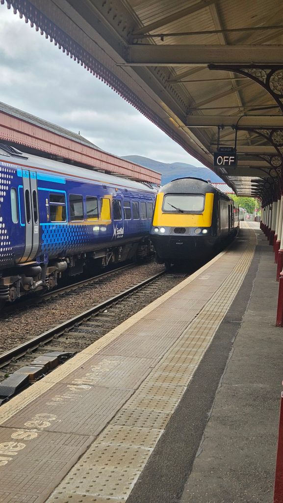
- Two trains up to Inverness Airport (one of the last remaining HST sets dating from the 1970s)
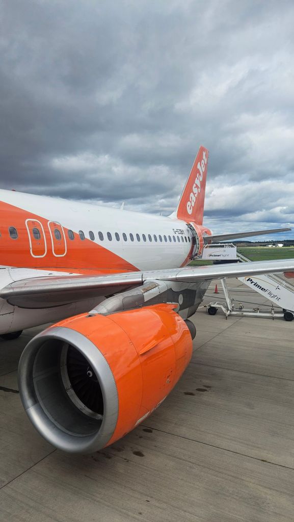
- A flight back to London, Gatwick Airport this time
- A normal train back into the city, then onto the Eurostar to go across the Channel to Brussels
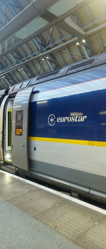
- And finally, spend the night in Brussels, then board a flight up to Bergen in Norway.
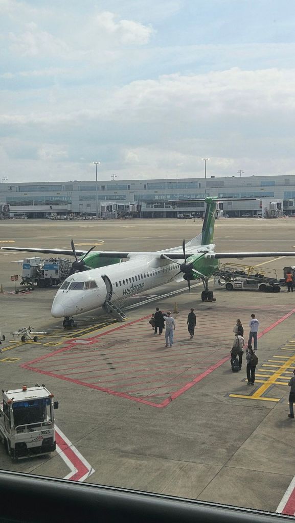
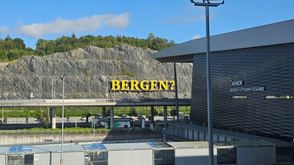
Come on, it wouldn’t be a hiking-centric trip to Europe without a visit to Norway, would it? I was excited to explore the country, but also a bit nervous at how the language barrier would play out. Yes, most Norwegians have at least a conversational level of English proficiency, but I’m of the mindset that it does feel slightly rude as a tourist to demand a local of the country speaks your language instead of trying to learn theirs.
Anyway, after a night in Bergen it was time to head off on our one solitary hike in this amazing country. Sadly I’d only be here for a week, but I had found a rather nice multi-day trip to try out through the Aurlandsdalen, crossing over high alpine plateaus and green valleys. Instead of doing a post for each day, I’ll document the entire trip here. So, without further ado.
Day 1 – Finse to Geiterygghytta
Stage Length: 16 km
Song Currently Stuck in Head: Don’t Dream It’s Over by Crowded House
Bright and early wake up for a bit of a change. Shame, I was getting used to sleeping in a bit. Bergen Station has lockers, so I chucked my suitcase in one and boarded a train heading east.
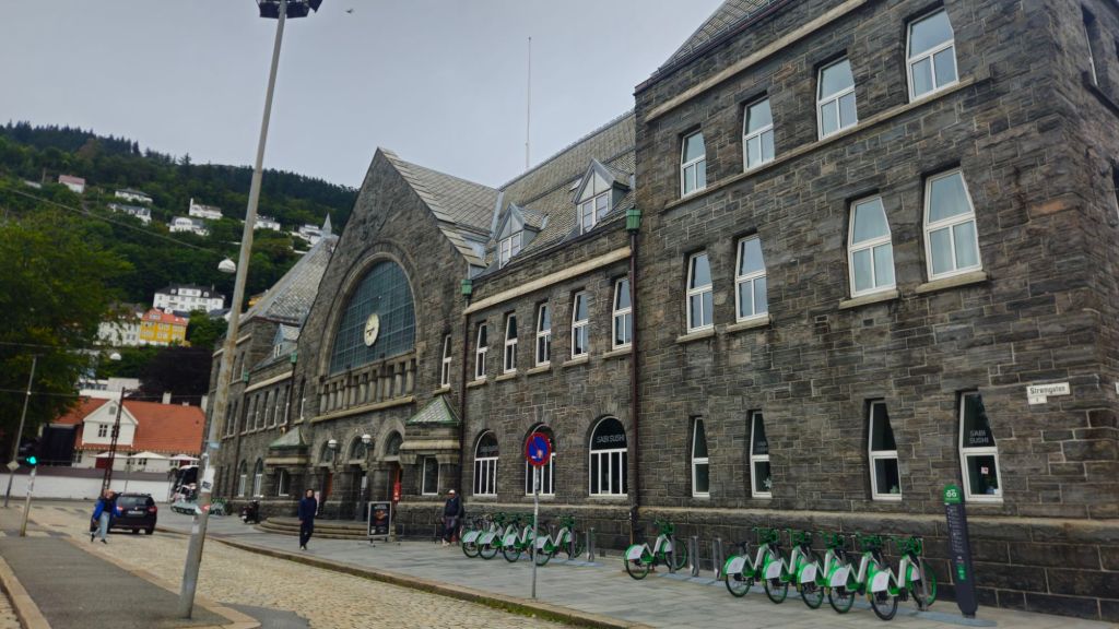
The Bergensbanen is frequently listed as one of the most scenic rail journeys in the world by a source that I just made up, although I’m pretty confident that there’s a travel website or two that agrees with me. When your train line passes by fjords and mountain passes, it does tend to get put on those sort of lists. Granted many of those mountains have been tunnelled through by some truly gigantic tunnels, at least by Australian standards.
The entire route to Oslo takes about 7 hours to complete, but I would only be going about 2.5 hours along to a tiny settlement called Finse, sitting at 1200 metres above sea level on an exposed alpine plateau.
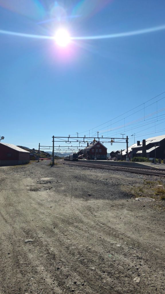
To this point I had been wondering if Norway was worth all the hype I had heard from friends, family, and several British people I had talked to in the previous two weeks. Finse gave me the answer: you bet it is.
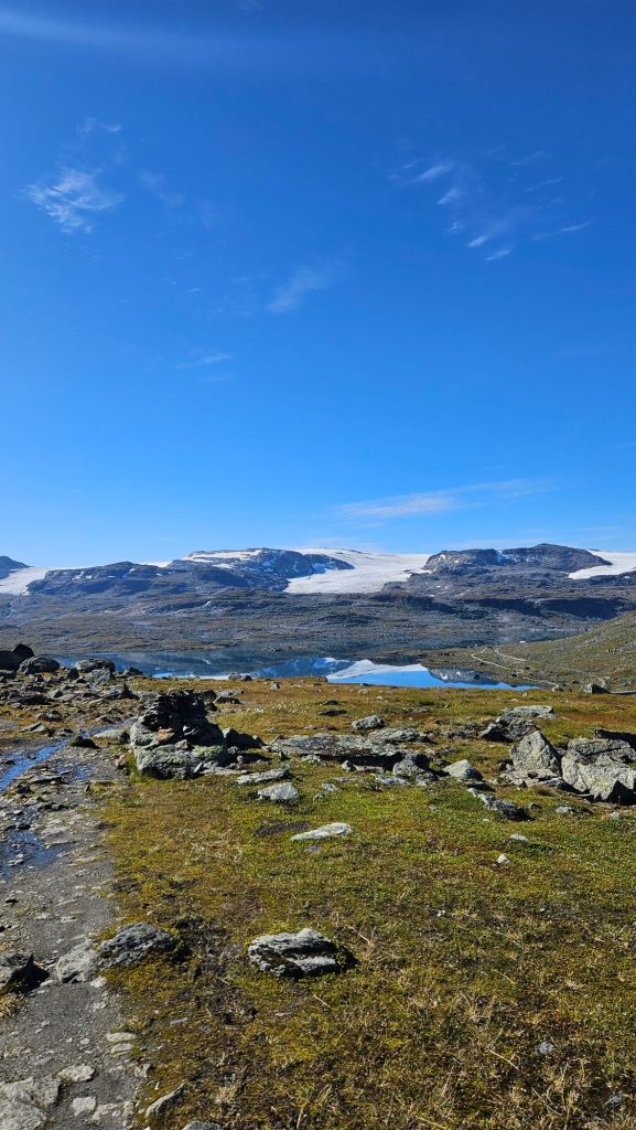
After a whole week of hiking through the grey skies of Scotland, it felt odd to now be standing under no clouds at all. Truthfully I almost didn’t want to leave Finse and just opt to soak in the views all day. But I had a pretty decent walk to do, so I’d better make the most of these conditions and begin the climb away from the station.
Norway, like Scotland and most (if not all) Nordic countries has Right to Roam laws in place. That means, essentially, you’re allowed to walk and in most cases camp anywhere you like, provided you abide by Leave No Trace principles; leave any gates as you found them, don’t mess with livestock, and only camp between sunset and sunrise. Restrictions vary from place to place, but that’s the main jist of it. All that said, I would not be rambling at random in Norway, instead following a designated track marked by DNT (insert full name here), who’ve painted red T’s on rock cairns and trees for hikers to follow.
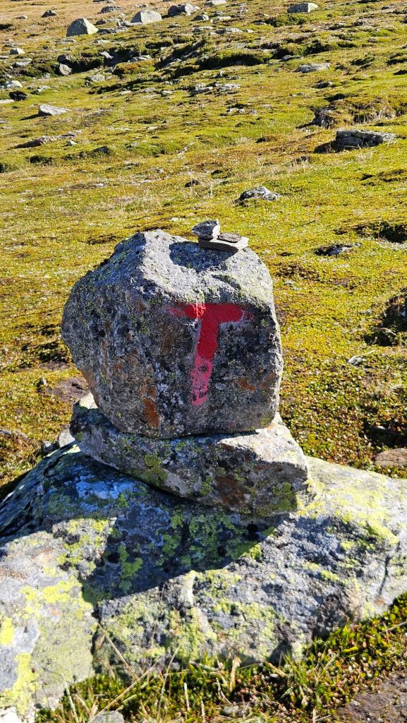
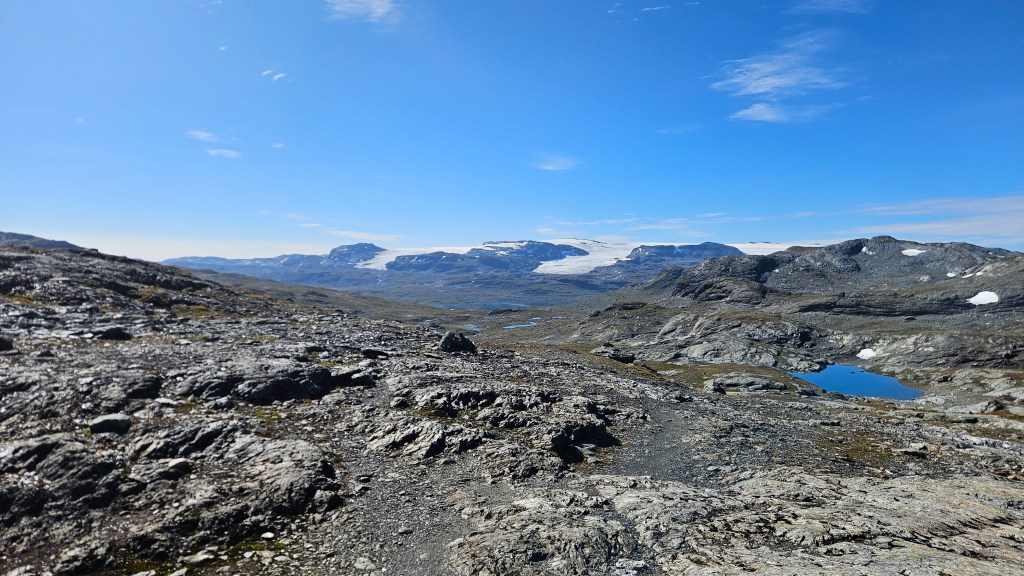
These would prove rather helpful in the featureless landscape I was now in, a sea of grey rock covered in hardy green and orange plant life with splotches of white snow and blue tarns. Every now and then I’d also get a signpost to assure me I was going in the right direction.
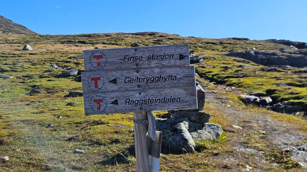
You could not have asked for better conditions to go tramping in. The cool air made the climb away from Finse a comfortable affair, warming the body without becoming annoyingly sweaty.
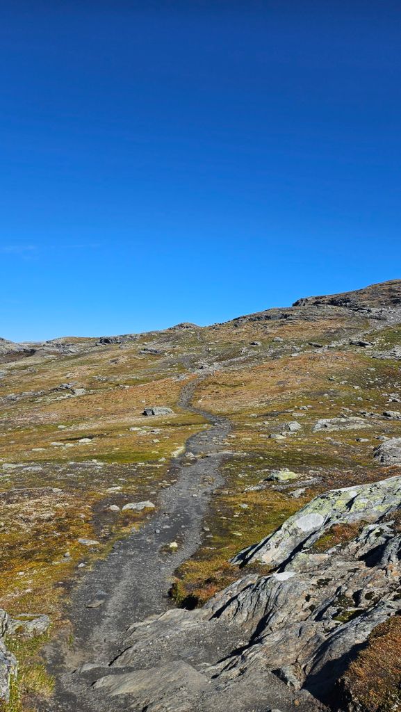
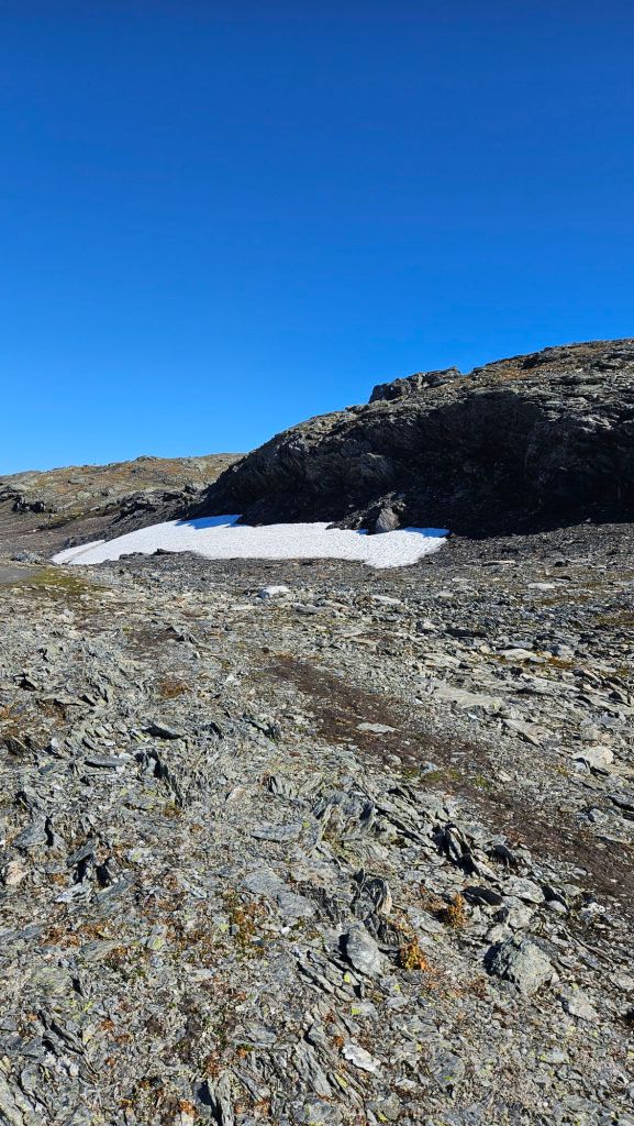
Beginning at altitude meant the climb wasn’t even that long, ascending to a maximum altitude a bit above 1600m. In a similar manner to what we found on Mt Ossa in Tassie, even in the height of summer, there were patches of snow that had stuck around.
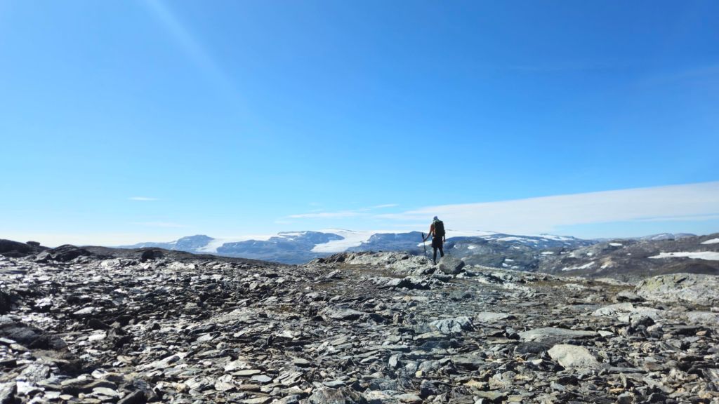
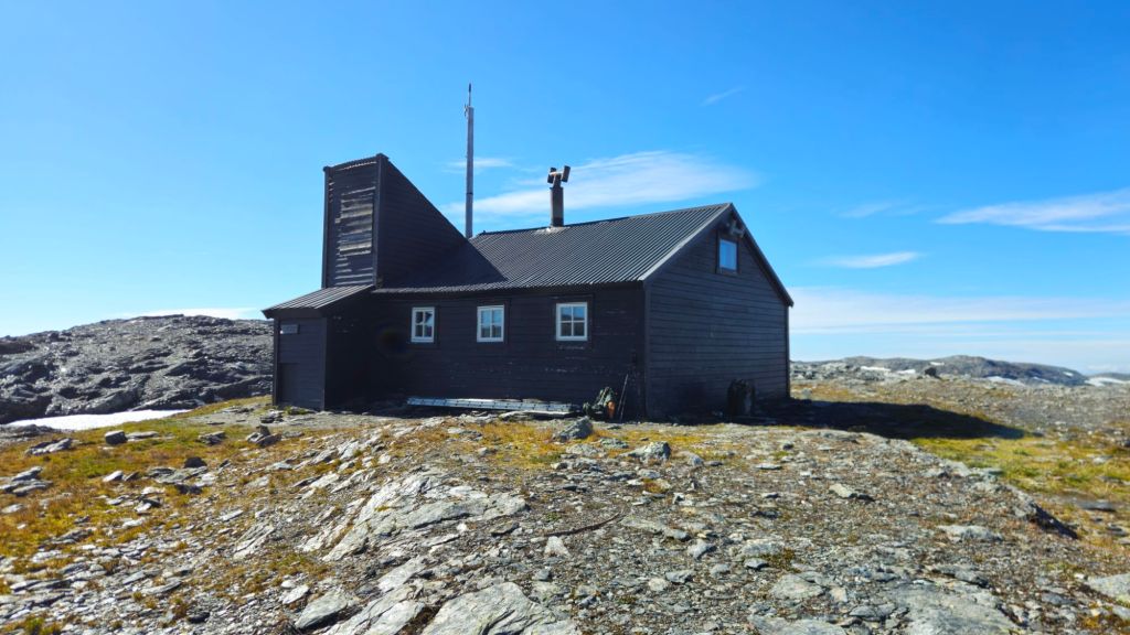
Near the top I came across a small black hut that made for the perfect excuse for a lunch stop. In a similar manner to DOC in NZ, DNT operates a network of huts throughout the Norwegian countryside that are available for use. Like the NZ huts, they come in all shapes, sizes, and levels of service, but as I’ll mention further down (just to build some anticipation), there are some key differences between the two countries.
Lunch consumed under sunny skies, I had just a touch more climbing to go before beginning my descent off the plateau. The track to this point had been a pleasant challenge with minimal crowds, and this would continue for the rest of the day, as would the gorgeous Norwegian scenery.
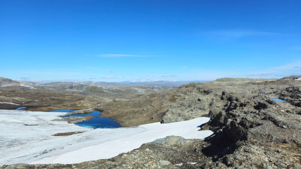
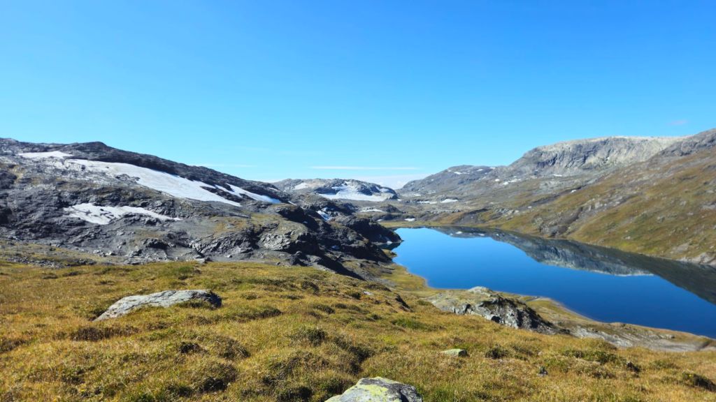
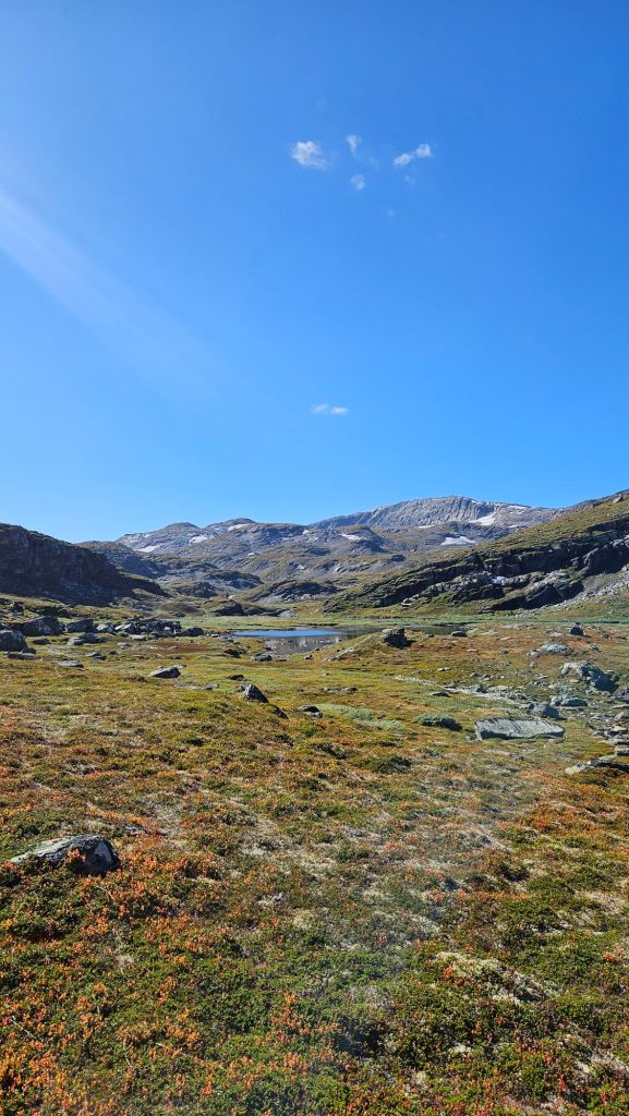
The rest of the day’s walk passed by uneventfully, with tonight’s hut soon coming into view. Granted it was still a few kilometres away – that’s what you get with perfect visibility and zero obstacles in the way – but having your destination visually identified does bring a good amount of motivation.
Now, I did just describe tonight’s shelter as a hut. It looks nothing like any mountain hut I’ve ever seen before.
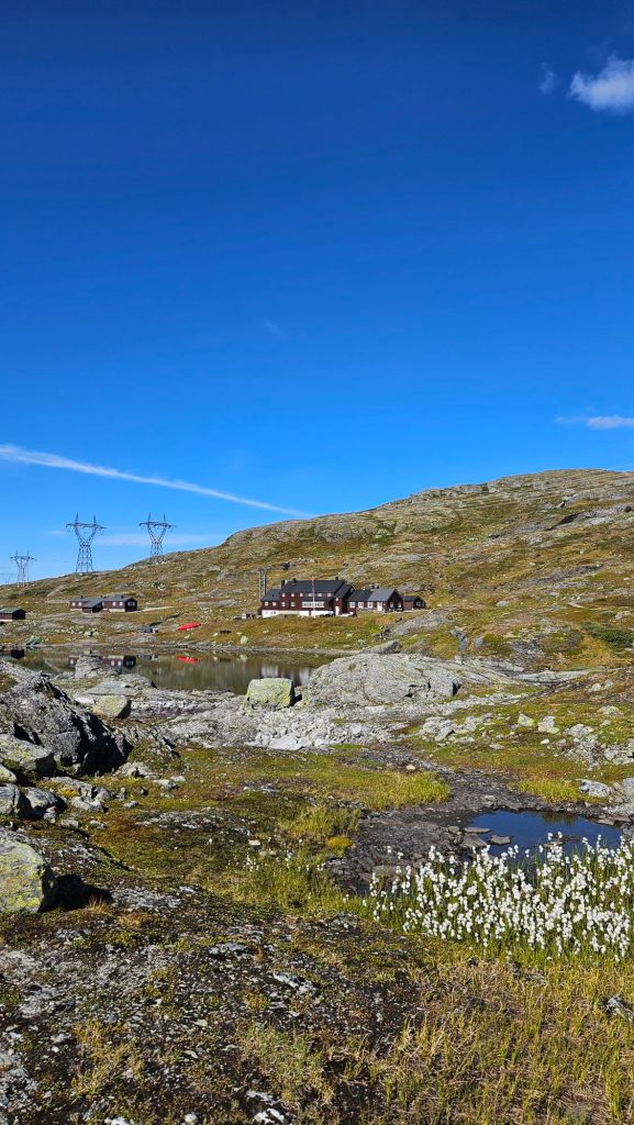
Right, let’s talk about what you get in one of these, er, huts. Now, Geiterygghytta is a fully serviced hut, the highest classification DNT has. That means they’re fully staffed during the summer months and are substantially larger than most of the huts you’ll find in Norway. Accommodation options here come in the form of an open plan dormitory or private rooms. Each bed has a mattress, pillow, and duvet, with guests required to bring a fitted sheet or sleeping bag liner for hygiene reasons (sheets can be hired if you forget).
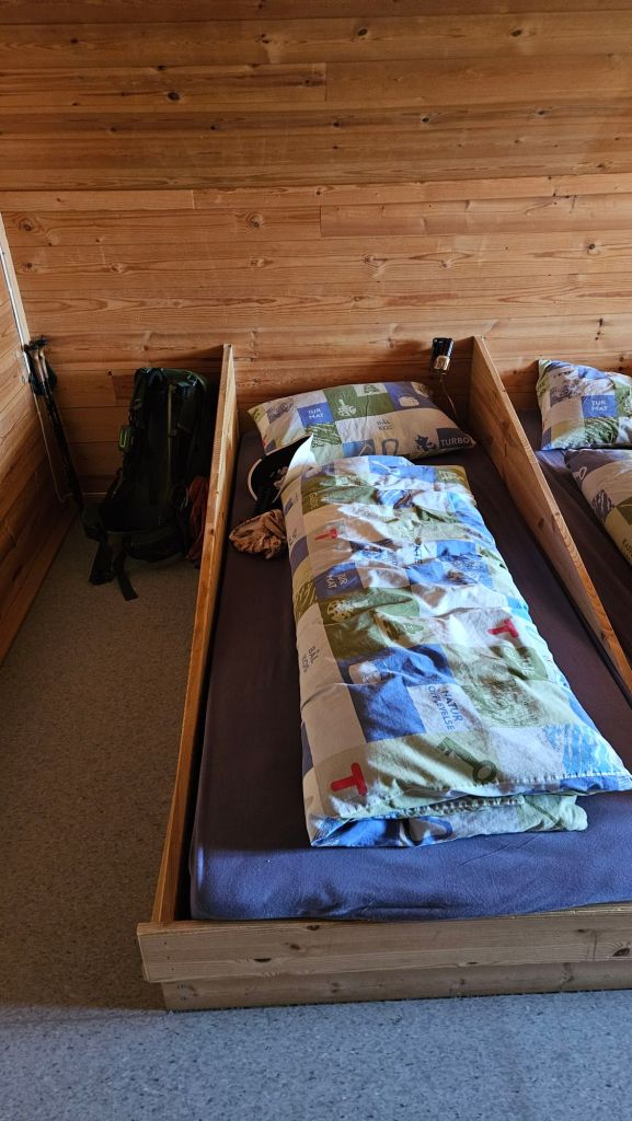
Speaking of hygiene, this hut has showers. Yes, showers. In a mountain hut. Once again, you can hire a towel if you don’t have one. The hut itself has a small shop selling snacks, drinks, first aid items, and souvenirs, and has a fully stocked kitchen. If you’re just passing through, you’re able to buy a hot lunch here, but for guests staying overnight, you’re given a three-course dinner covered in the price of your booking.
Yes, I’m serious. I got a bowl of mushroom soup, a moose and reindeer stew with mashed potato and jam on the side (we are in the Nordics after all), and ice cream. Let me tell you, it was fantastic. I got sat next to a Dutch couple and two Norwegian guys out on a fishing trip. We ended up talking for a long time about our different countries and cultures, before calling it a day around 10pm.
Day 2 – Geiterygghytta to Østerbø
Stage Length: 21.02 km
Song Currently Stuck in Head: Keith by Playlunch
Hey, guess what else you get when you stay at these huts? Buffet breakfast! A very Norwegian breakfast, but breakfast nonetheless. I wasn’t game to try any of the herring or mackerel based dishes, opting for some bread, cold cuts, and brown cheese. Don’t worry it’s safe, it’s brown because the sugars inside the cheese have been caramelised. Tastes really nice, actually. Along with breakfast you’re given the option to prepare a matpakke (literally, food package). It’s a Norwegian tradition that every schoolkid to office worker partakes in. Essentially, it’s just a sandwich wrapped in wax paper (albeit engineered differently to how we normally construct sandwiches), but it meant that I didn’t need to bring lunch stuff with me from Bergen.
With bag and sandwich packed, it was time to hit the road for a long slog to the next hut.
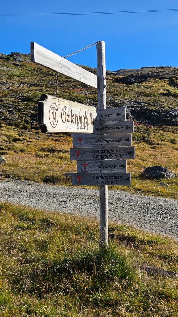
The Aurlandsdalen track has 3 huts on it, the next only being 10 km from Geiterygghytta, and the next another 10 km further on. I’ve done plenty of 20+ km days in my time so I figured it would be fine to compress the hike into 3 days, giving me a rest day at the end of it to recover. I felt fresh so I was confident in how this day would go, motivated along by more amazing scenery.
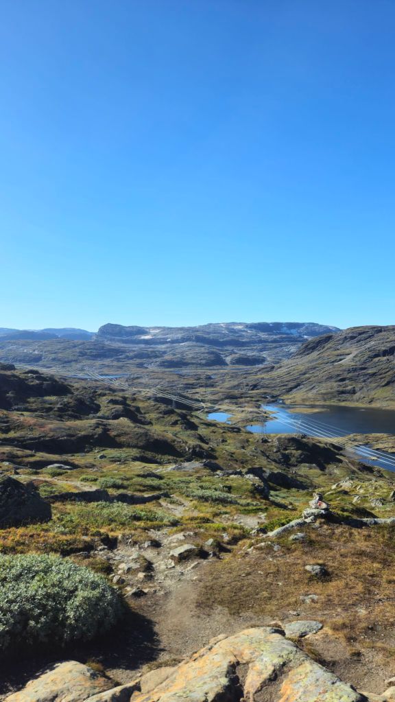
The day began with a small climb over some more hills on the same sort of terrain as the previous day. Keeping the red painted T’s in line of sight, I found myself going up and over them pretty quickly.
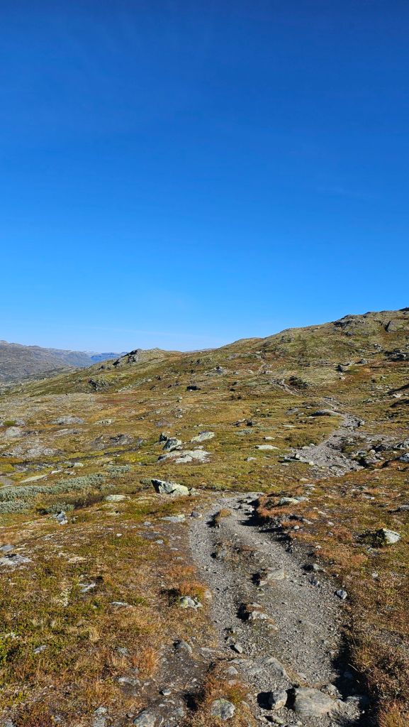
Eventually the bulk of the climbing would have to end. The -dalen part of Aurlandsdalen means valley in Norwegian, so I knew at some point the track would be dropping into said valley away from the mountain tops. In fact, from the tops of these hills, I could roughly make out where I’d be heading.
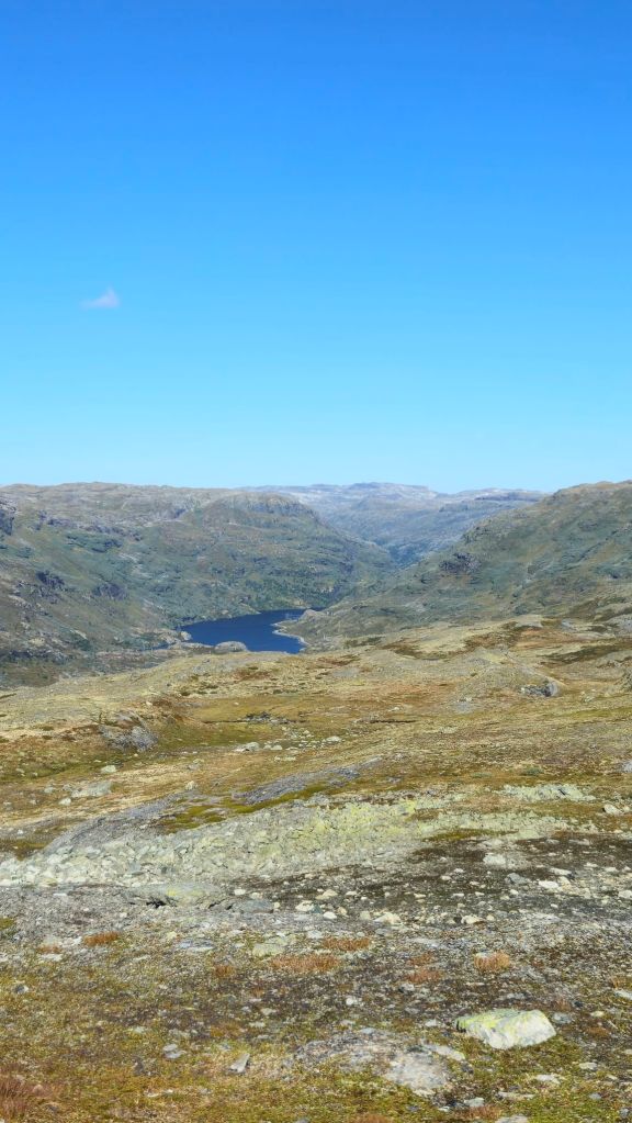
Descending would be a problem for future Jono. For the time being, I had more mountain views to appreciate, as apparently did a bunch of cars, trucks, and motorbikes. Below me was a road. Not like the gravel road near the last hut, but a proper paved highway. Didn’t quite expect to see that on my mountain hike, but here we are. To be fair, with the sheer number of tunnels the Norwegians have dug almost out of necessity for their roads and railways, I shouldn’t be surprised to see a highway in a place it normally shouldn’t be.
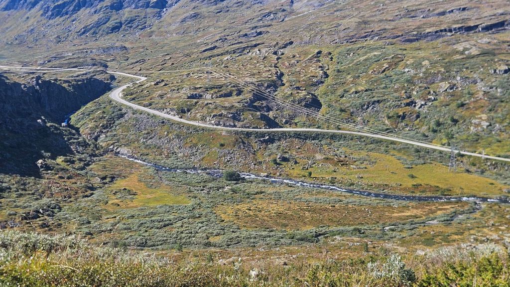
Thankfully the traffic noise was light so it wasn’t much of a distraction. The latter half of this first half of today’s hike (I really don’t like how I worded that) was spent slowly dropping down into the valley. The terrain surrounding the track slowly evolved from gravel and short, hardy alpine plants to larger, more colourful flora, a trend that would continue the rest of today.
The halfway hut soon hoved into view, a similar size to the one I stayed at the night prior. I plonked my bag down by a table, went inside to grab a coke and was instead offered a local organic cola (which was pretty nice), and tucked into my matpakke.
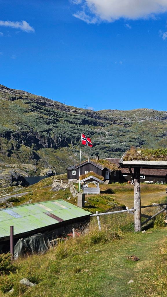
Most of the people I was with yesterday would likely stop here for the night so I expected the rest of the day to be a lonely affair. What I didn’t expect was the track to convert from an easy to follow gravel path into an overgrown, rocky nightmare without any good foot placements to speak of. Perhaps if I paid closer attention to the valley walls closing in, I’d be more prepared for all of that.
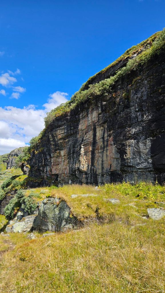
So yeah, it was a frustrating, mentally draining afternoon. I did my best to distract myself with the still excellent Norwegian landscapes, but I couldn’t avert my eyes for long lest I put my foot somewhere dicey.
At least I had a cheer squad watching me.
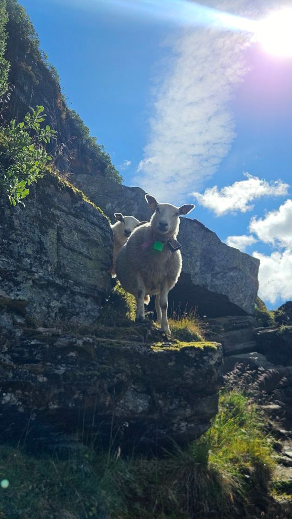
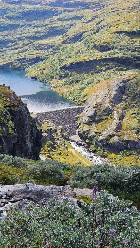
All this time we weren’t really descending either. That only really began when the valley started turning left towards the west. The bushes were getting bigger, now complemented with wildflowers and skinny beech trees. Now instead of red T’s on rocks, there were painted red bands on the trees to follow.
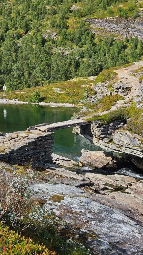
The path was now back to being, well, an actual path, and the shade from the trees was a nice touch after a full day exposed to the sun. Look, it’s nowhere near as fierce as the antipodean sun can be, but 5 hours of constant exposure is still a lot. I remembered to apply sunscreen this time, don’t worry.
Looking at the map, I knew tonight’s hut was near a lake, and lo and behold what do I see in front of me.
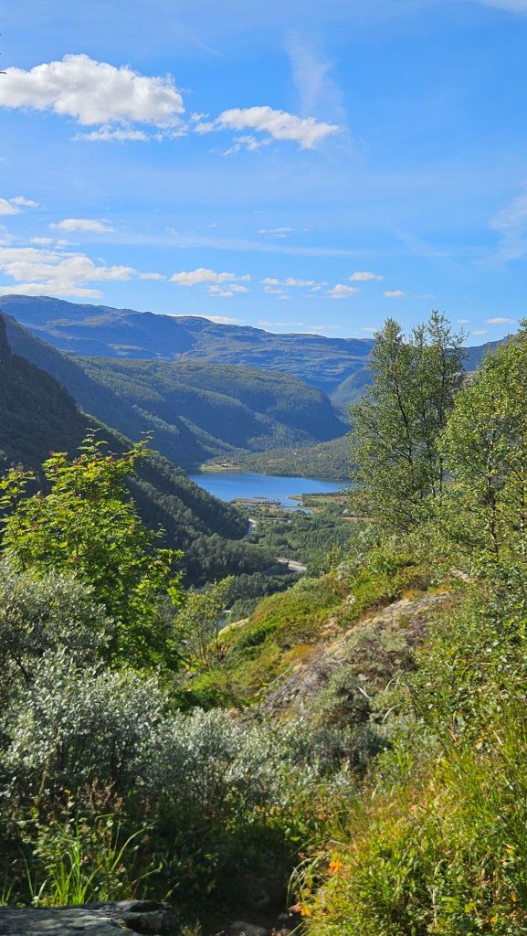
The descent through the forest met up with a narrow road leading to the resort of Østerbø. No, I don’t know how to pronounce the O’s with the line through them. A DNT hut is located next to the main resort and has near identical facilities to Geiterygghytta.
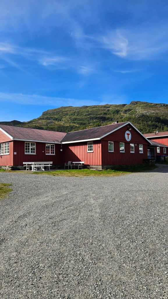
Despite me booking a dormitory bed, I was put in a private room that I ended up having all to myself. That’s just what they do when they’re not fully booked. Tonight’s menu was another Norwegian classic: meatballs, potatoes, mushy peas and, say it with me, jam on the side.
I got talking with a barrister from Melbourne (yep, somehow found another Aussie out here) and a Norwegian couple. The majority of the country’s population has a pretty good grasp of English, but I was still making a conscious effort to speak slowly and clearly. We ended uo discussing a multitude of topics, from work to politics to other adventures we’d been on.
Day 3 – Østerbø to Vassbygdi
Stage Length: 16.24 km
Song Currently Stuck in Head: Lights Burn Dimmer by fred again
Righto, this had all the makings for a pretty stressful day. Here’s the situation: I had to get back to Bergen by the end of today. To do that I had a number of connections that all needed to go right. First up, I needed to get a bus from Vassbygdi to Flåm. A bus that only runs once per day. From Flåm I would then take the Flåmsbanen up the mountain to Myrdal and from there one more train back to Bergen. Flåm is a tourist haven and the rail line to Myrdal is a work of engineering excellence, being one of the steepest adhesion rail lines (i.e.: doesn’t use cogs) in the world, the maximum gradient being 1 in 18. I suspected all of today’s services would be sold out so I need to make the 4pm train I had booked.
Let’s go back to that once per day bus I was talking about. It leaves Vassbygdi at 2pm and it’s only a 40 minute ride to Flåm. Easy, right? Well if the trail signs were to be believed, I had to walk 19km just to get to Vassbygdi, and I had to wait till 8am to get breakfast. By the time I’d be done, I’d only have 5.5 hours to do those 19km. You’re looking at an average speed of just under 3.5 km/h, and if the terrain was anything like yesterday, I’m not gonna be doing anywhere near that fast.
So, we’d be pushing it a bit. A shame considering this is meant to be a lovely walk through a gorge, there’d just have to be a lot of quick snap-and-go photos. After a rapidly consumed breakfast and equally rapidly made matpakke, I was on the trail by 8:40, which started of really nicely. Flat, wide, not rocky in the slightest.

The Aurland area has a long history with farming, with many medieval farmhouses still present near the track. I believe some of them are still used seasonally. There’s also plenty of holiday cabins in the area situated near these calm, picturesque lakes. I saw a couple of people out rowing on them, seemingly having the time of their lives.

Before the highway was built, access up the valley was on the path I was currently walking on, either on foot or by horse. It was clearly built before Norway’s engineers got tunnel visioned (pun intended), because the path skirts around the side of the valley instead of going through it, sometimes being blasted on a narrow precarious ledge with a sketchy drop off into the rapids below.


The good trail conditions was great news for my average speed, well above where I needed to me. It also helped that there were kilometre markers counting down the distance I had left. So far they were syncing up well with what Garmin was telling me. It meant I could ease off a bit when coming across the more dicey parts of the track.

Then came the descent. So far it had been a classic up-and-down sort of route, but at some point we’d need to drop down in a big way. Østerbø is above 800m, Vassbygdi is near sea level. You do the maths. I am not a fast descender, I’m weird and much prefer the climbs. My speed would drop but I was hoping that I’d built up enough of a lead on these early kilometres that it wouldn’t matter.

There were, mercifully, some switchbacks that were mighty helpful, all the while the gorgeous views (pun intended) were always present.

What’s more, the distance markers on the track were getting increasingly out of sync with my watch. Some were coming after only 600m and it was now looking like the track would be less than the advertised 19. Again, I didn’t want to put too much trust in a GPS watch that frequently hands me a few metres when I’m completely still because it can’t get a good lock on me. Still, it was looking more promising that I might just make this bus.

What didn’t help were the annoying climbs in between the quad-crushing descents. I’m trying to get down to sea level and this isn’t helping! That said, most of them were to pass by old farmhouses. This is what the track was originally built for, after all.


It became increasingly obvious that this stage was definitely less than 19km long and I’d now have bucket loads of time before the bus arrived. Hooray for me, I guess? I was starting to hurt in a number of places so it felt good to coast for the last hour down the valley, the green foliage a far cry from the desolate plateau I had begun this trail on.

The track spat me out on a narrow road which led to the bus stop. A bunch of other hikers presumably also waiting for the bus were also there. In total, I had only completed 16km between the hut and Vassbygdi which does make me wonder, who measured this track and got it 3km longer than I did???
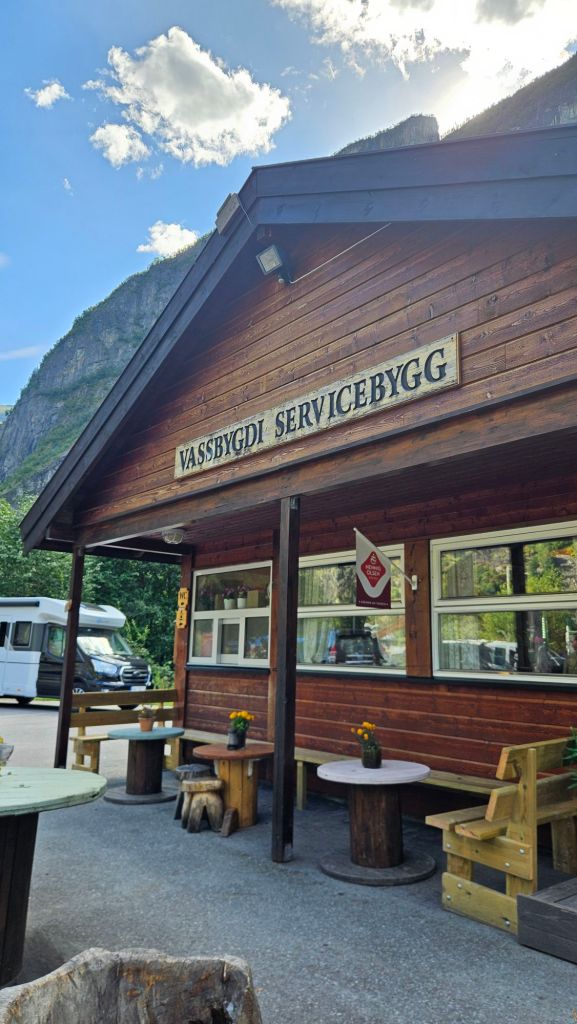
After killing an hour by this little shop, the bus to Flåm arrived bang on time and I was treated to a fantastic ride along the banks of a fjord. In Flåm, there was one thing that dominated the skyline.
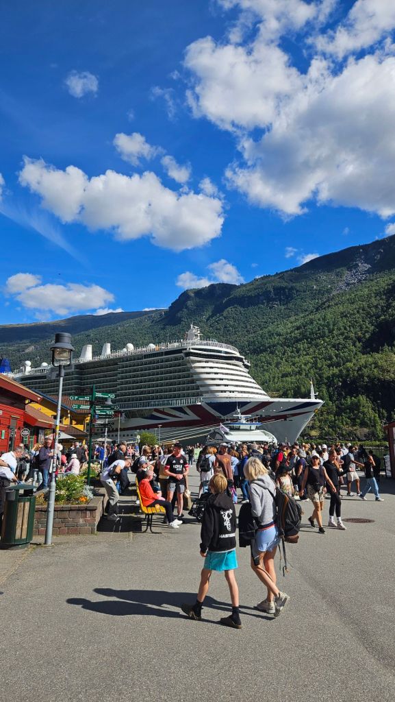
Cruise ship visits to Flåm are a daily occurrence in summer and the village was teeming with tourists. With not much to do in the town itself, I paid a quick visit to the Flåm railway museum to learn more about the line I was to take up to Myrdal.

As expected, the train from Flåm was packed and every other service today was sold out. Thank goodness I only had to walk 16km. To tell you the truth, I found it underwhelming. Like, there’s a lot of really impressive engineering that went into building this line; dozens of tunnels, a spiral near the top, all of the earthworks that were needed. But you don’t really get an appreciation of it when you’re inside a carriage, nor do you really notice the steep grades the train is climbing. Plus, the views outside were much the same of what I had just walked through.
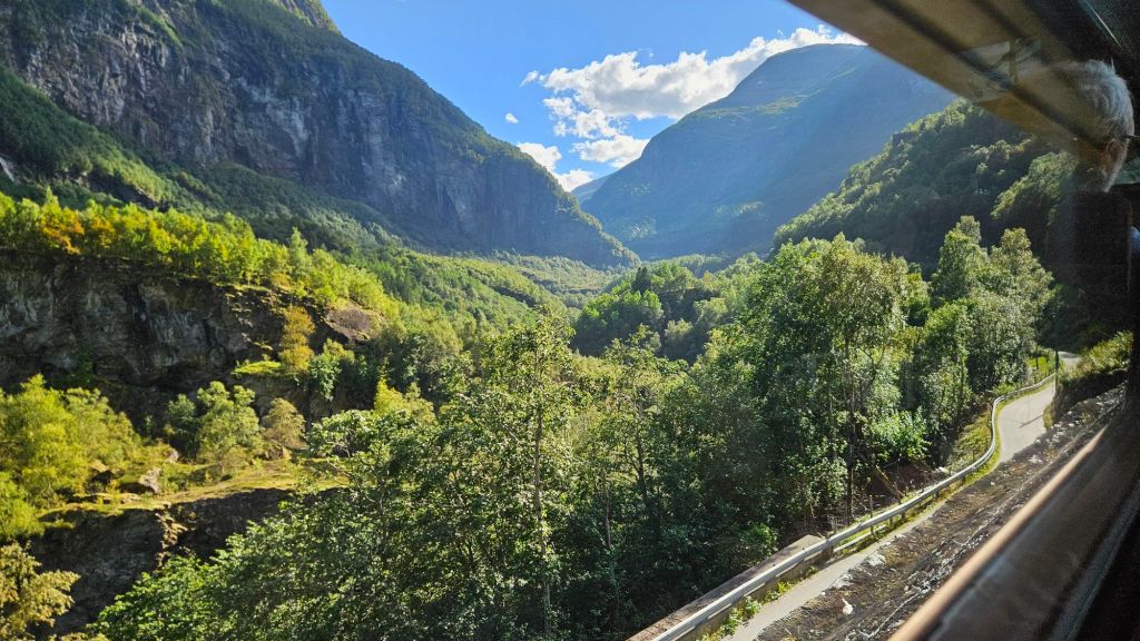
The Bergen-bound train was waiting for us on the opposite platform at Myrdal and two hours later I was back in a lovely little city. I was a bit nervous at how I’d go on my first multi-dayer outside of the Tasman duo, but I needn’t have been. The people on trail are lovely, the huts are incredible, and the track is easy to follow. Part of me is wondering why I didn’t dedicate more time to exploring Norway, but I do have to remember I am much more restricted time-wise on how much I can see compared to my TA days. Norway isn’t going anywhere, so here’s hoping I can be back someday.


Leave a Reply