
Here’s a fun fact for you: Switzerland has a lot of hiking trails. I know, crazy that a hiker would go to a place that has tonnes of mountains and loves to hike them. Unlike Norway and Italy, I didn’t do any overnight or multi-day journeys in the Swiss Alps. I thought about it, but figured I’d leave the planning of my Swiss leg up to Oli; y’know, the guy who actually lives here.
So, instead I went on three day hikes throughout the country, all of which will be summarised in this post. I separated Clariden out from this because that was more of a mountaineering experience rather than a hike. These journeys didn’t involve glacier traverses or any crazy gear but were nonetheless very beautiful.
Hike 1: Mythen (8.32 km)
The day after Clariden was pretty wet, not the greatest conditions for being in the Alps. To pass the time, I spent the day exploring Zürich, a gorgeous little city with loads of old churches and narrow alleyways to walk through. It also has quite possibly the greatest public transport network I have ever been on.
For starters, it of course has trams. They go everywhere, they’re fast, comfortable, and interestingly only single-ended (i.e.: only one driver’s cab), so if you get a seat at the back you can see, well, essentially the opposite of what the driver sees.
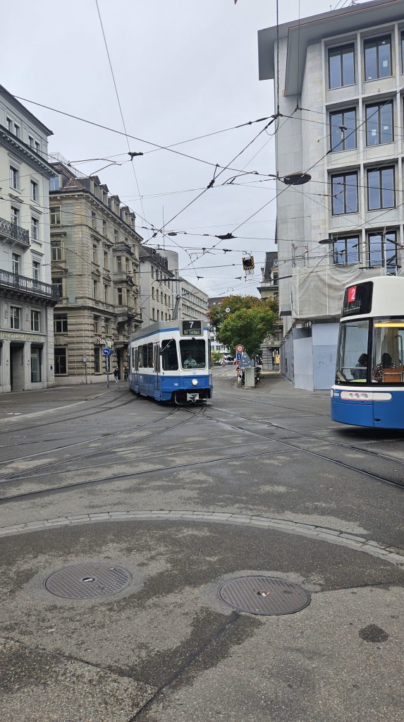
They also have trolleybuses in the centre and normal buses in the suburbs that act as a feeder service to the S-Bahn (Brisbane City Council, take notes). At each station, several routes arrive at the station together, with their passengers transferring seamlessly onto trains, and vice versa.
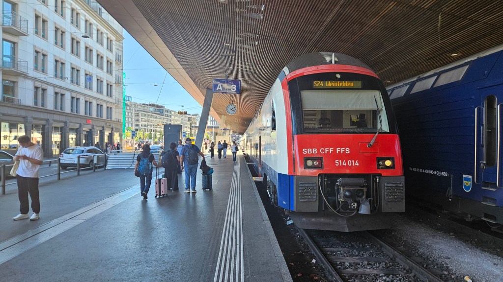
Speaking of the S-Bahn… I could glaze it for days on end. It is just superb. Punctual, comfortable, super easy to use, and it goes literally everywhere. One million people less than Brisbane and it puts our rail network to shame.
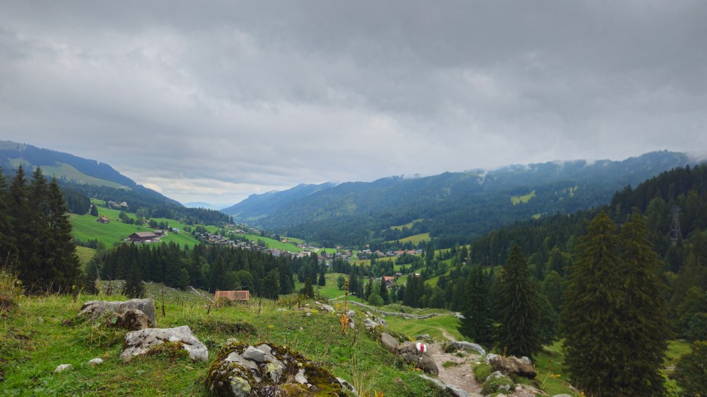
Anyway, enough raving about trains, this is a hiking blog after all (come find me in person if you want to hear my full unabridged thoughts on Zürich’s transport network). The following day was nice and dry, so Oli and Sandra planned a short hike up a mountain named Mythen that was only an hour away from their place. It’s way more accessible than Clariden, so much so that they could take Stella, their 3 month old baby with them.
The trail began by passing through farmfields and into a small forest. Europeans seem to take a very different view to nature than we do in Australia. Back home, a mountain like this would probably be a designated national park with all the restrictions that come with it. Over here, I’ve noticed many of the good hiking places are also farms containing sheep and cows, where you can bring your dog on the trail with you. And yet the area still looks as natural as if it were a national park. Maybe that says something about the culture surrounding taking care of the land over here, being free to do more stuff because everyone cleans up after themselves.
Putting that aside for a second, we climbed through the forest up to a restaurant/cable car station. This area turns into a ski field in the winter so there’s plenty of facilities up here for those that partake in winter sports. From there, the mountain rose sharply above us. To reach the summit, we’d pass over a number of switchbacks. 48, to be precise, each one painted on the rock.
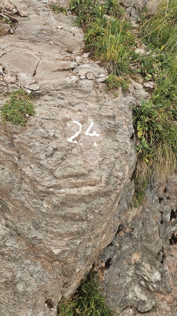
Unfortunately, the clouds began to roll in, taking away the excellent views we’d enjoyed up to this point. The track was rocky and narrow, parts of it having chains bolted into the rock to help support hikers, but otherwise it was easy to follow, not requiring any sort of scrambling.
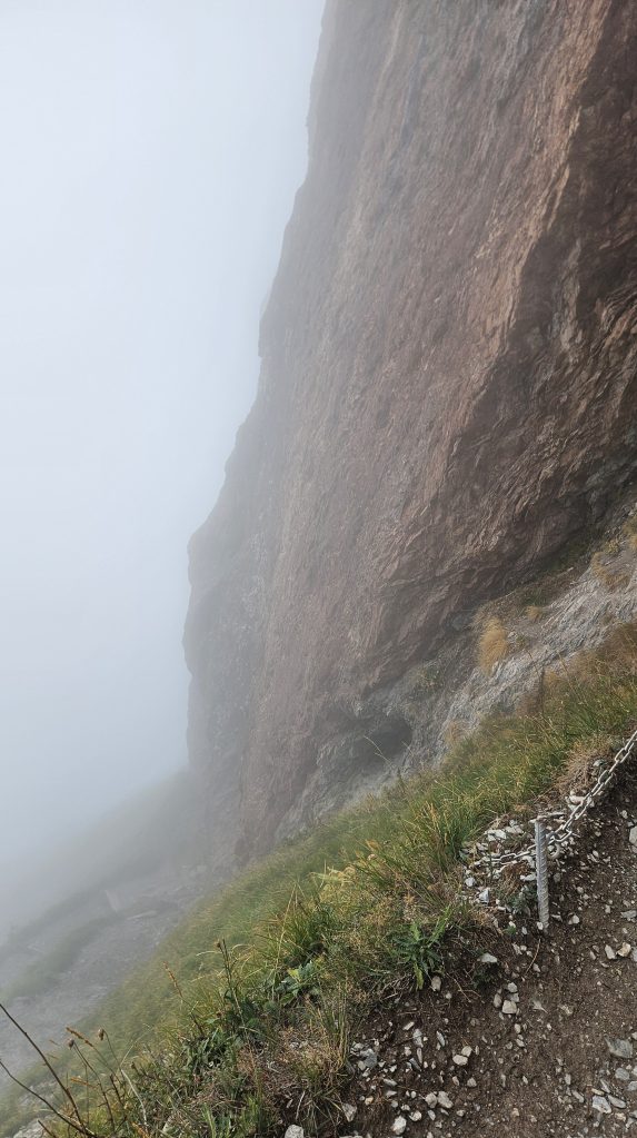
Considering we – well, Oli – were carrying a literal infant up a mountain, we weren’t exactly setting any speed records. Coincidentally, Oli has the fastest known time traversing not just Mythen, but also two other peaks nearby… all in one go.
Temperatures dropped the higher we got, resulting in me needing to add layers on during a climb; very unlike me, I know. Soon afterwards we reached the top, with no views in the slightest, just a Swiss flag, a cross, and very cute hut.
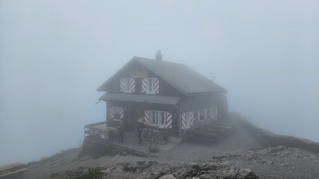
We sent inside and sat down for lunch. It was basic – two sausages, mustard, and bread – but very tasty. I’m getting good at ordering food and drinks in broken German. Ok, good is maybe a stretch, anytime the cashier asks a question is pure guess work at how I’m supposed to respond.
With bellies full, we started descending the same route we came up, views still non-existent. As it’s quite the popular path, the rocks have been worn down substantially so even in these dry conditions they were quite slick. I can only imagine how dodgy it’d be to have to walk down this after a bit of rain. The switchback numbers went by faster than on the way up, and soon we were below the clouds and onto a gentler path.
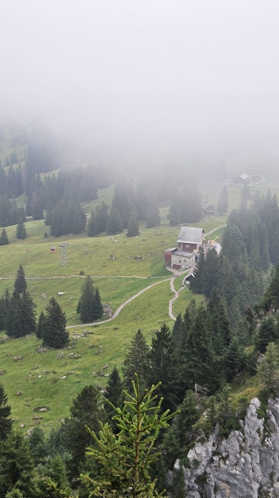
From there it was smooth sailing back to the carpark. I should point out all this time, Stella had been sleeping soundly. Seems as if she’s taken after her parents love of the outdoors. After the intensity of Clariden, I really enjoyed this walk despite the fog covering what Oli said was a lovely vista looking over a lake. I’ll just have to take his word for it.
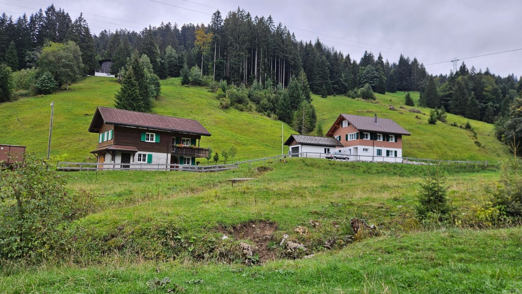
The next day, Oli and I went out for a run around a lake nearby (not Zurichsee, that would’ve been a 60 km loop), my first proper long run since Edinburgh. This was a top 3 highlight of my time in Switzerland, getting to have some quality time talking with Oli whilst running in a very scenic spot.
That weekend, him, Sandra and Stella left for Germany to go on a wellness retreat with some friends and I was left to my own devices. The Saturday was, of course, parkrun day, however as Switzerland doesn’t have any parkruns of their own, I had to take a train to Basel and hop across the border into Germany. I had a great time there, hopping back across to Switzerland to spend the rest of the day exploring Basel and Bern.
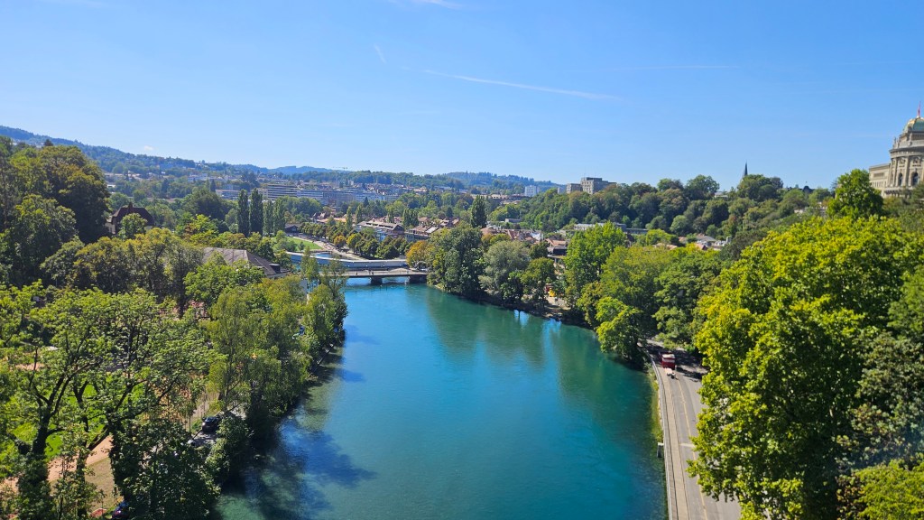
Sunday was again an early start, this time going a bit further into Switzerland, which leads to the second hike in this post.
Hike 2: Eiger Trail (15.33 km)
If I was smart I would’ve gone to bed and, more importantly, turned off my phone at a much earlier time. I do realise that doing the smart thing is a lot to ask at times. I managed to drag my sleep-deprived body up to the train station in time for a journey with just an insane amount of connections. The first leg was the same as yesterday into Zurich HB, going to the same coffee house to buy the same flat white for the same bank account-crushing price, but the second train was different. I was heading south to Interlaken, a town that, as any etymology nerd would’ve picked up on instantly, sits between two lakes. Bit of a longer journey than yesterdays, so I settled in for the ride as we cruised through the Swiss countryside at 200 km/h.
Interlaken is another one of the places to put on the “for crying out loud I really wish I had the time to explore this place further” list. For today’s purposes, I would be getting very acquainted with the station, its underpass, and that’s about it. Look at me, whinging that Swiss railways are too well organised because they don’t give me time to explore somewhere new before my next train departs.
Speaking of which, Interlaken marks the terminus of the main-line standard gauge line. To get into the mountains – obviously I was going into the mountains – means changing onto one of the fabulous metre-gauge lines that are sprinkled across the country. This one is the Berner Oberland-Bahn (BOB; that might just be the best acronym I’ve ever heard) which heads up two valleys to the towns of Lauterbrunnen and Grindelwald. I was in prime tourist territory so the train was crammed, not that I minded much, the views outside were very pretty.
The terrain gets steeper as the train approaches Lauterbrunnen, normally a headache for trains, but the BOB uses a rack system to allow for steeper grades without losing traction, which did excite the engineering part of my brain. Arriving at Lauterbrunnen, I added the town onto the same list as Interlaken and walked across the platform for train #4 of the day. This was even smaller than the BOB with only an 800mm gauge, and this line was fully racked (that’s gotta be a word), reaching a maximum grade of 1 in 4 (1 m up for every 4 m forward). To be clear, this isn’t a funicular, this is a proper railway line.
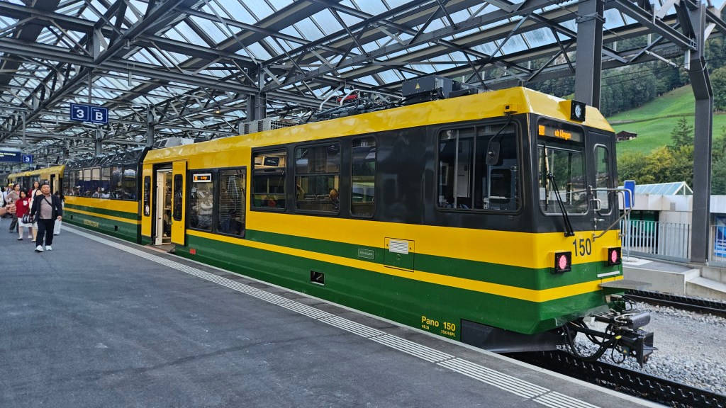
It’s pretty trippy seeing and feeling a train traverse such steep grades, listening to the sound of the cogwheel turning, giving the train the grip it needs to get up these slopes.
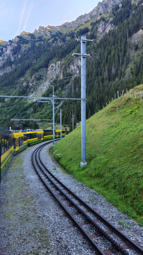
Speaking of cool things to see, I give you mountains!
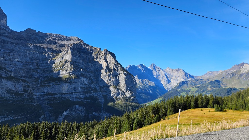
The line ends on a pass called Kleine Scheidegg, welcoming visitors with sprawling alpine landscapes as far as the eye can see. I’d have a chance to enjoy them a bit more later on today, but I had train #5 to catch on the Jungfraubahn, the highest railway in Europe. Fair warning: it is stupidly expensive, a return ticket with my half-fare card was CHF 110. It’s also not included in the Swiss Travel Pass as one couple in my carriage found out the hard way, needing to fork over CHF 440 as a penalty fare. That said, it’s a really cool line. It’s 80% contained in tunnels so no views to speak of, but it rises 1400 m in the span of only 9.3 km horizontally.
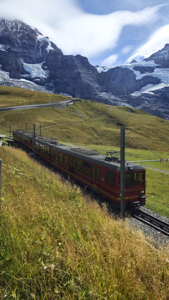
The top at Jungfraujoch is essentially just a tourist attraction, the highlight for me being getting to walk outside and peer over a massive glacier covered in dozens of crevasses.
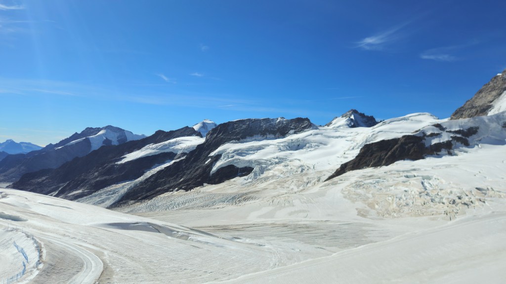
So yeah, it’s pretty neat but not something I’d solely come up for. So, back down to Kleine Scheidegg, it’s time for a hike, and this one was pretty special: the Eiger Trail. Leaving the station, the track began with a short climb to Eigergletscher, then it was all downhill to Grindelwald. You could not have asked for better conditions: cool, sunny, windless, perfect visibility.
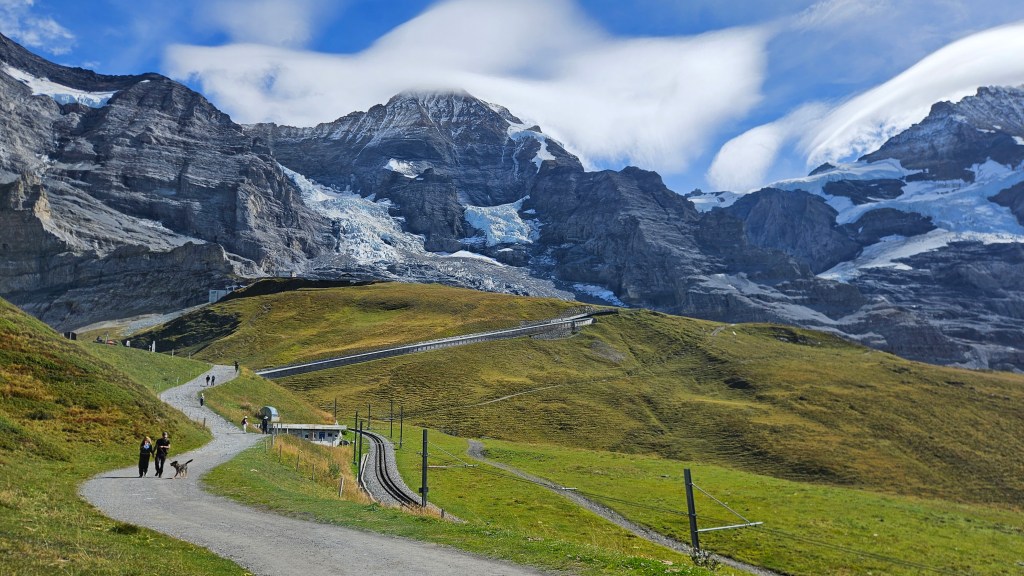
On the climb up I got the perfect view of this trail’s namesake, the north face of the Eiger. It’s a sheer wall over 1800 m tall that is considered one of the great north faces of the Alps. I couldn’t even begin to comprehend how one goes about tackling it. It would be such a brutal endeavour, but at the same time, there’s almost this beauty in the brutality of it.
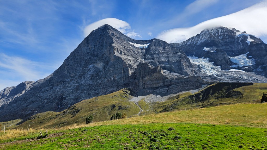
From Eigergletscher, the trail follows the base of the face, just in awe at the size and scale of this rock wall towering over me. The wall was only climbed successfully in July 1938 after a 3 day ascent, but perhaps more well-known was a failed attempt from two years prior. A team of four climbers – Andreas Hinterstoisser, Toni Kurz, Willy Angerer and Edi Rainer – had been climbing the face for two days. The first day had been fine, but the weather became dicey on the second. Angerer then got injured in a rockfall, forcing the party to stop for the day. This injury forced them to descend off the mountain, but got stuck on a traverse that was now covered in ice, so with the weather worsening they begin abseiling down the face.
Then the avalanche came. The lead climber, Hinterstoisser – who’d unclipped from the rope – was swept away instantly, as was Angerer, who was dashed on the rock face. Rainer was still attached to the rope, but so was Angerer’s dead body, the weight of which suffocated Rainer, leaving Kurz as the last man alive, hanging on the rope with his dead comrades. As it happens, their route was close to a station on the Jungfraubahn from which a rescue was organised. Kurz was able to tell the rescuers what happened, but he had now spent close to four days on the face. With an arm totally frozen, he managed to abseil within a few metres of the station, but could not get past a knot in the rope. By this point he began to lose consciousness, and despite a rescuer being able to touch his crampons with an ice axe, Kurz soon passed away.
90 years on, I reflected on this tragedy as I passed by the wall. You’d think stories like this would deter people from ever trying to climb the wall, but it almost seems to have the opposite effect. Disasters create reputation, reputation creates attraction. Even a small part of me itches to try it (no, I’m not gonna actually do it).
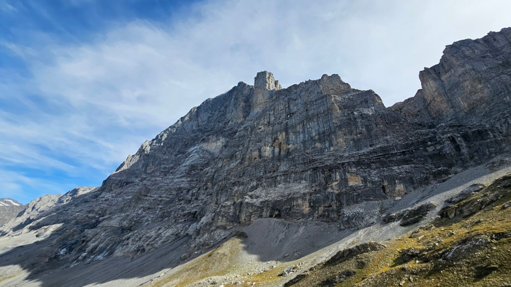
I will say, it is hard to complete the physical aspect of hiking when the views never go away. Every couple minutes I was wanting to stop, take photos, record footage on my GoPro, not wanting to leave the mountain behind. There were a couple of moments where I did have to remind myself that I did, in fact, need to go home after this and it wouldn’t be all that comfortable to get stranded on the side of an Alp overnight. So, time to say goodbye to the Eiger (well not really, it’s kinda hard to hide a 1800m tall wall) and descend towards Grindelwald past the hamlet of Alpiglen.
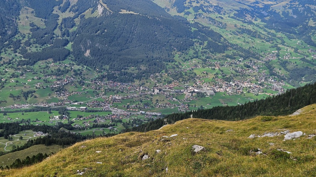
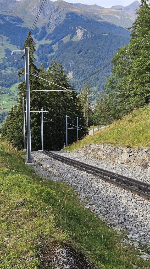
From here to the end, the trail is a mixture of roads and sealed paths. What really tripped me out is that I was descending at the same rate as the railway beside me. Trains aren’t supposed to do that, but trust the Swiss to find a way to make it happen.
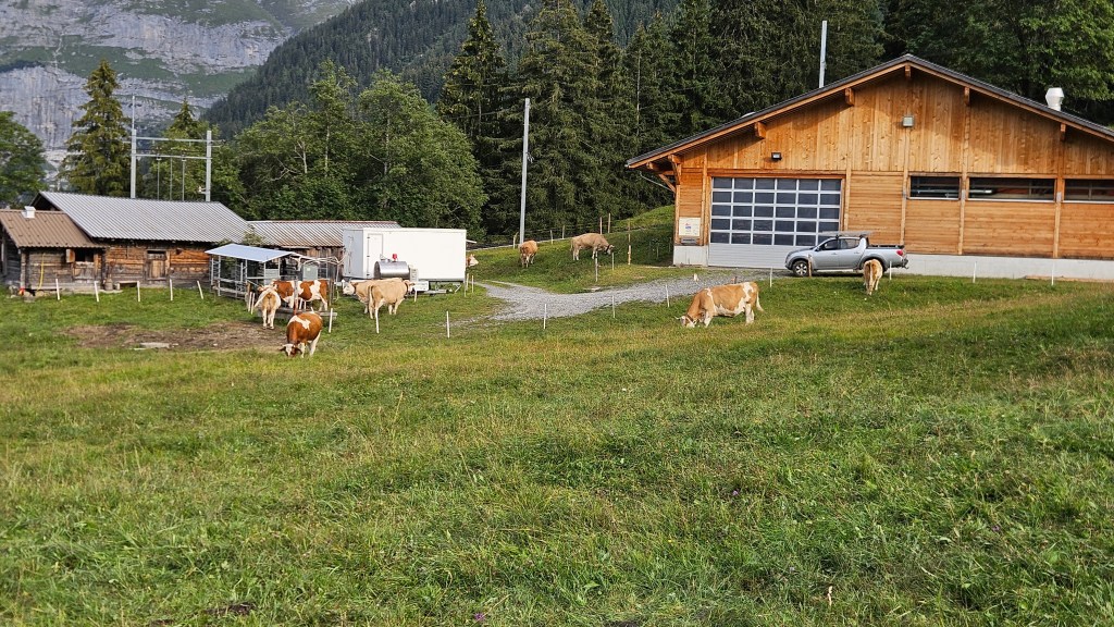
The rocky alpine heights made way for a lush green forest as the trail passed by small farms whilst I listened to the soundtrack of cow bells and a gentle breeze.
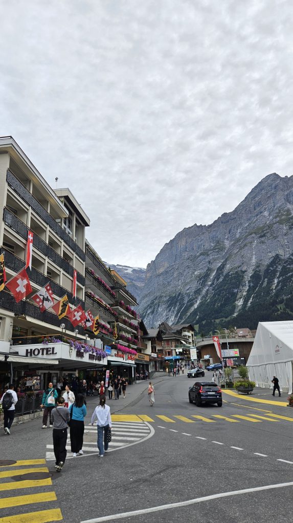
Grindelwald got slowly closer, this almost violently Swiss mountain village perched at the head of a valley flanked by two mountain passes. Timber cottages with small fields out the back, following narrow streets into the tourist-heart of town with its hotels and ski chalets. Make that the third place added to the list I mentioned earlier.
With sore feet and an hour until my train to Interlaken, I found a local takeaway and got a massive cheeseburger to fill my empty stomach. My train pulled into the station as the sun set, and as most of the tourist crowd had left for the day, the train was almost empty. So, I found a seat, opened the window, and spent the 45 minute journey watching the countryside pass us by, feeling the crisp alpine air on my face.
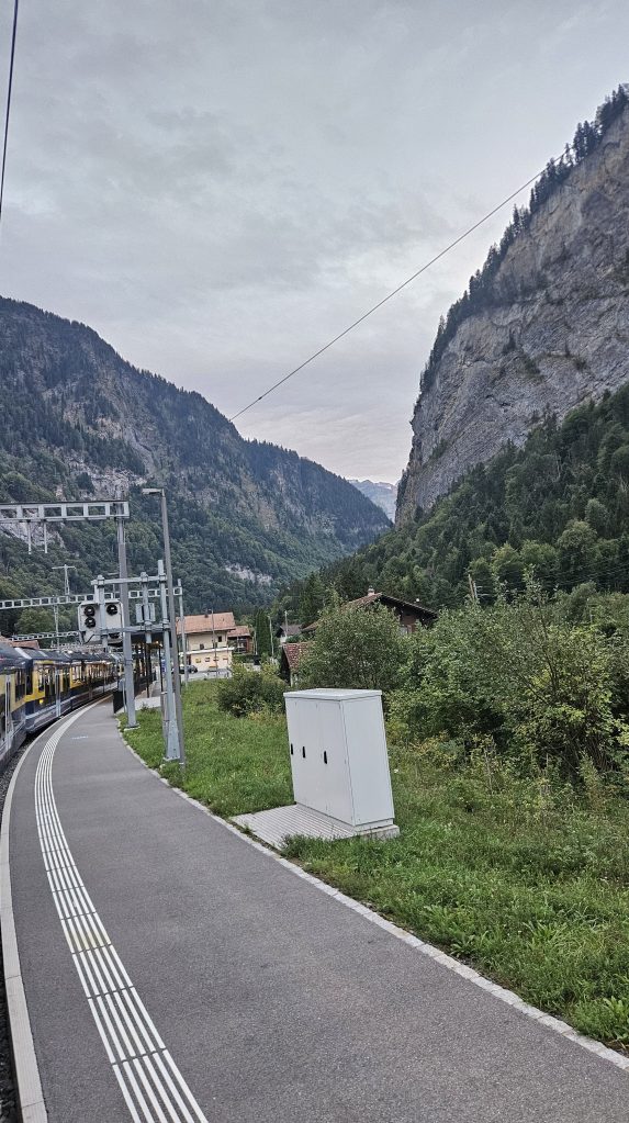
From Interlaken, it took another 3 hours and 3 trains to get me home. To say I was wrecked would be an understatement, and I was rapidly tucking myself into bed, bracing myself for another long day to come.
Hike 3: Matterhorn Glacier Trail (7.45 km)
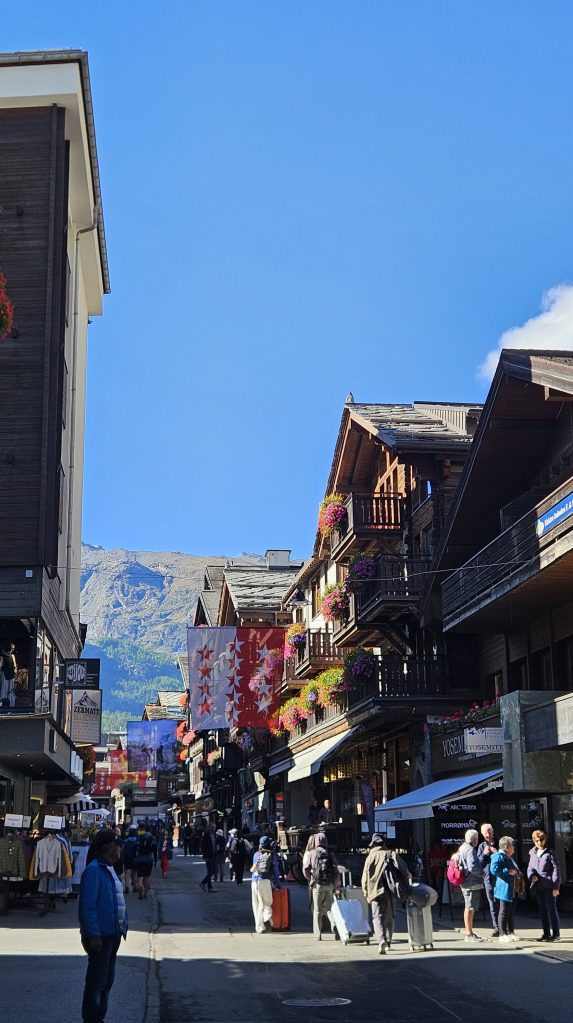
Seconds out, round 3. You know the drill: walk to local station, into Zurich, pay the flat white extortion fee, onto the train to Interlaken but don’t take it all the way. This time get off in Bern and sprint over to a different intercity train to go further south through the 35 km long Lötschberg Base Tunnel to Visp, then onto the last outbound train, a classic metre-gauge line to another tourist haven: Zermatt.
There is one reason and one reason only why people come to this isolated corner of the Swiss Confederation: the Forbidden Toblerone.
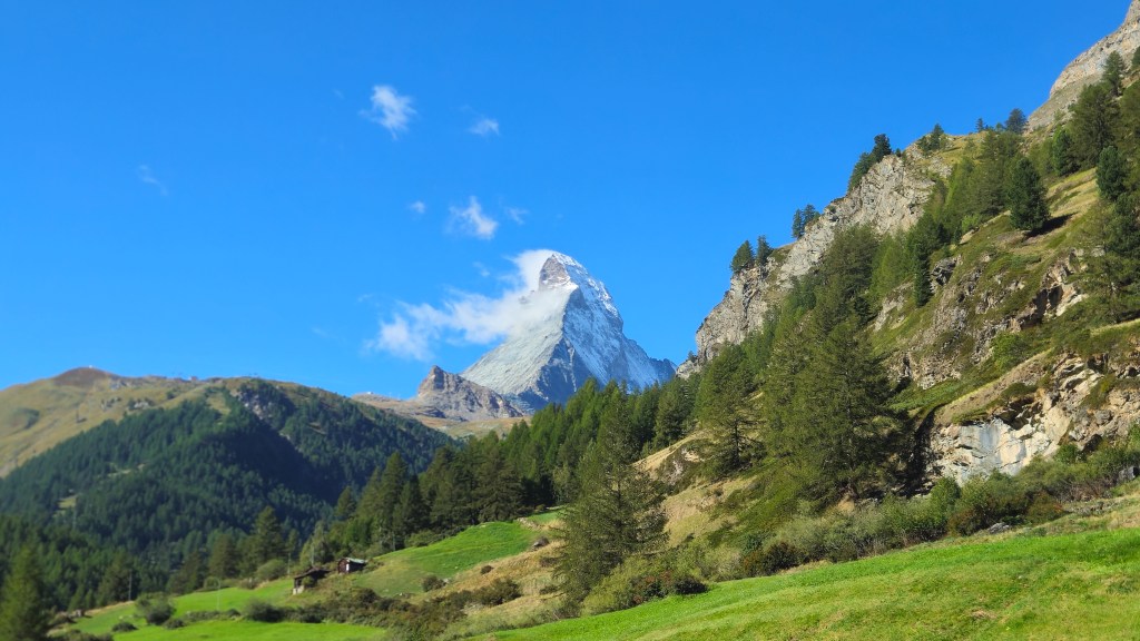
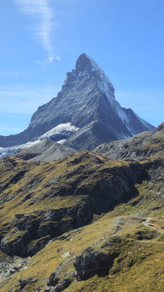
Pictures don’t really do justice to just how massive and beautiful the Matterhorn is. I was totally mesmerised from the second I saw it. And I was about to get up close and personal with it. No, not to climb it (really wish I could, maybe someday in the future), but to do a short walk at the base of it. The trail in question is up on a glacial plateau above 3000m. On fresher legs and with more time I probably would’ve walked up to it from Zermatt, but after the two massive days I’d just had, a shorter walk sounded lovely, so I took the cable car instead.
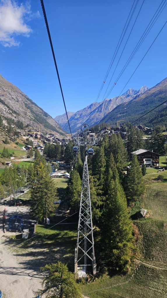
It was like I’d been transported to another world. Nothing green to be seen, just grey rock and white snow as far as the eye could see.
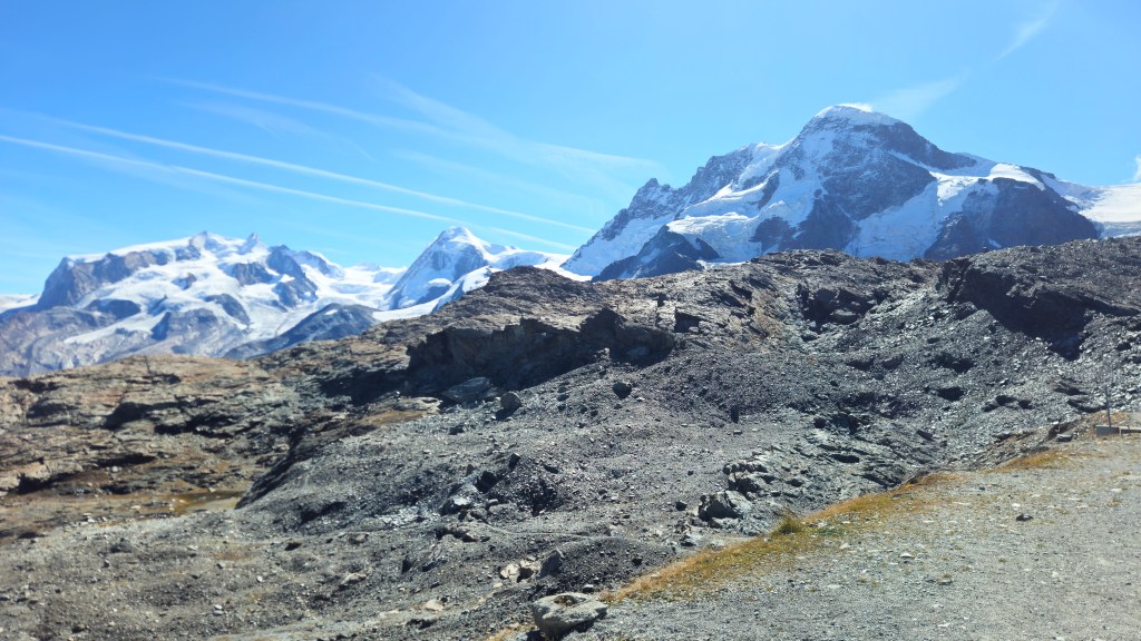
And of course, Matterhorn.
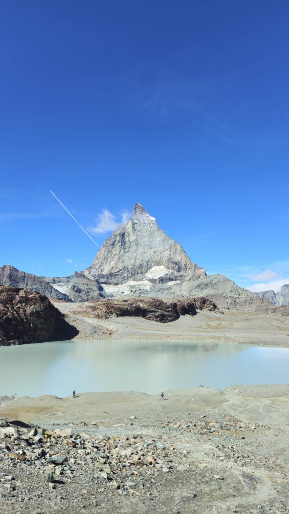
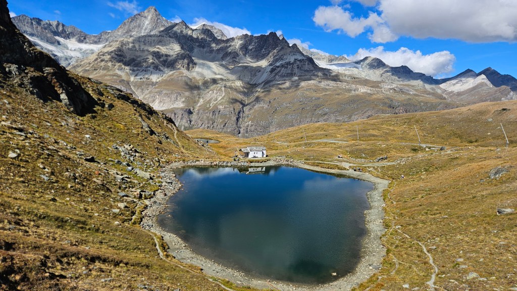
Today’s trail would descend towards Matterhorn and towards a small lake called Schwarzsee, following the path carved out by a glacier that has since retreated. Like the Eiger, walking the trail was hard, because my eyesight was completely taken over by what is unquestionably the most iconic Alp in the entire world.
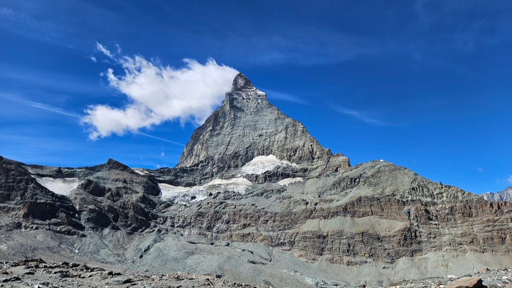
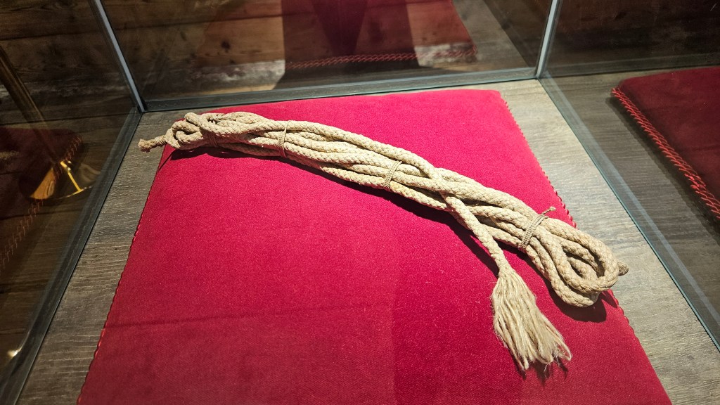
Matterhorn was the last of the great alpine peaks to be summited and like Eiger, its story is wrapped in tragedy and controversy. The first successful summit was completed by a team of 7 from England and Switzerland, led by Edward Whymper. All of them made it to the top, but on the way down, Douglas Hadow slipped. They were all roped together for safety, but it snapped after the 4th person, sending them plummeting to their deaths, leaving Whymper, a Swiss guide and his son (both made Peter Taugwalder) to watch in horror, listening to the screams of their friends get ever fainter. They all made it back down safely, but accusations about what really happened on the mountain began circulating, including accusing Peter Sr of cutting the rope in order to save him, his son, and Edward. All three survivors were later acquitted of any foul play, but to this day the events that took place on Matterhorn on that fateful climb continue to spark debate. A section of the rope that snapped is on display in Zermatt.
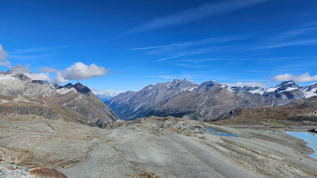
There would be no such risk for me today. The trail was simple and easy to follow, and I had plenty of time to soak in the views.
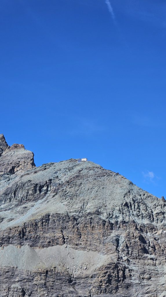
Before today, I had hoped to walk up to a mountain hut that acts as a base camp for most climbers looking to go up Matterhorn – the Hörnlihütte – but reading the Zermatt website suggested this route was closed. Now close to the junction to said track, it was pretty obvious it wasn’t shut, with a regular stream of hikers, climbers, and checks notes, a dog all easily traversing the trail. Well that’s annoying. I still had the time to go up there, but at this point my mentality was that I was on a cruisey short walk and that’s what I felt like sticking to. The hut’s not going anywhere, I’ll come back for it someday.
Now time to descend to Schwarzsee on, you guessed it, more switchbacks! I suppose it’s better than the alternative, plus it means I don’t have to be as locked in and can enjoy the scenery more.
Schwarzsee is a small lake with an equally small chapel on the bank, along with a restaurant near the cable car station. Before heading back to Zermatt, I spent another 5 minutes staring at the giant rocky Toblerone, watching it… honestly not fade out of view at all as I descended back into town. The rest of the day was spent visiting the museum that holds the broken rope I was talking about, where they have also reconstructed what Zermatt would’ve looked like before tourists began flocking to the town.
I didn’t know it at the time, but this would be my final hike in Europe. My journey home was identical to what it took to get me out here, and once the sun had set, I spent some time reflecting on everything I had done and seen over the past 6 weeks. And when I say reflect, I mean have a mild crisis coming to terms with the fact I had already been away from home for 6 weeks and I had no clue where that time had gone. The crisis didn’t last long, mainly because I was just way too tired to think about anything deep. Oli and Sandra had returned from their weekend away, so I said a quick hello to them when I arrived home before passing out, grateful for a normal wake-up time the following day.


Leave a comment