
Dates: 31st August – 3rd September 2026
Start: Madonna di Campiglio
End: Madonna di Campiglio
Distance Travelled: 51.73 km
Maximum Altitude: 2,580 m (taller than Kosci)
Exactly one week after beginning Aurlandsdalen, I was back on another multi-day adventure. But as the title gives away, I’m now quite a distance from Norway. Gonna be another monster of a post so I’ll try to be brief about how I got to the land of Ferraris, pasta, and expressive hand gestures.
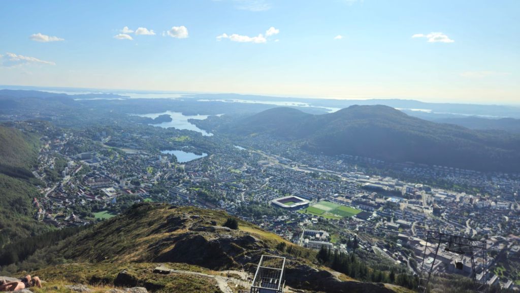
I had a day in Bergen to explore the city and run a couple errands. My hiking clothes were a special kind of smelly so I was glad to find a laundromat to un-stink them. I then proceeded to get them stinky again by doing a 14 km hike over the hills behind Bergen. Totally worth it though, it was a gorgeous walk.
The next day I was off to Oslo, by train obviously. The 7 hour journey was spectacular, loads of views of fjords, mountains, and flags at half-mast? A quick Google answered that question: the King of Norway, Harald V, passed away that morning. Being an ex-British colony, we only really pay attention to the British royal family, but there’s plenty of other nations, mostly European, who also have constitutional monarchies, Norway being one of them. I spent a couple hours researching Harald and what he got up to, and it seems like he was well loved by his people, having this image of being Norway’s grandfather. That was all the more apparent when I arrived in Oslo. Every electronic ad sign was showing photos of him, and the road leading to the royal palace was filled with people waving the Norwegian flag and laying flowers in his memory. I’m sure he will be sorely missed, and I wish the new king – Haakon VII – all the best in his reign.
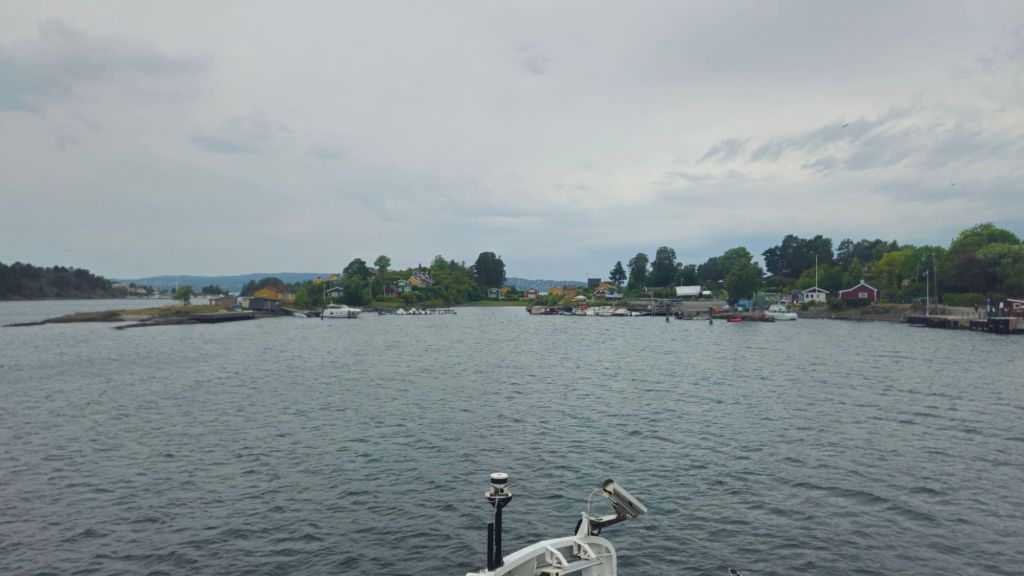
The weather had become more Norwegian when I arrived, but I still wanted to explore the city a bit, which I did by taking a ferry around the fjord and walking along the docks.
The following morning I had time for my 4th parkrun of the trip along with getting coffee with some of the local attenders afterwards. Then I was off to the airport. Now the easy option would be to fly directly from Oslo to Milan or Venice or somewhere else in the north of Italy. Nope, not me! Here’s my journey in a nutshell
- Fly to Amsterdam
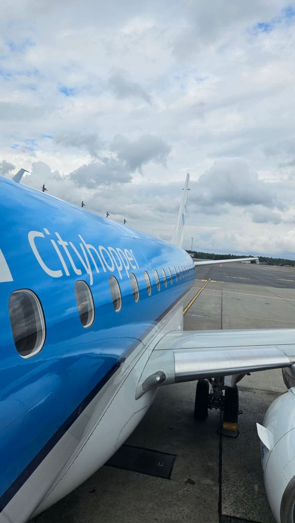
- Quick transfer to Centraal station, then board a night train bound for Innsbruck, Austria
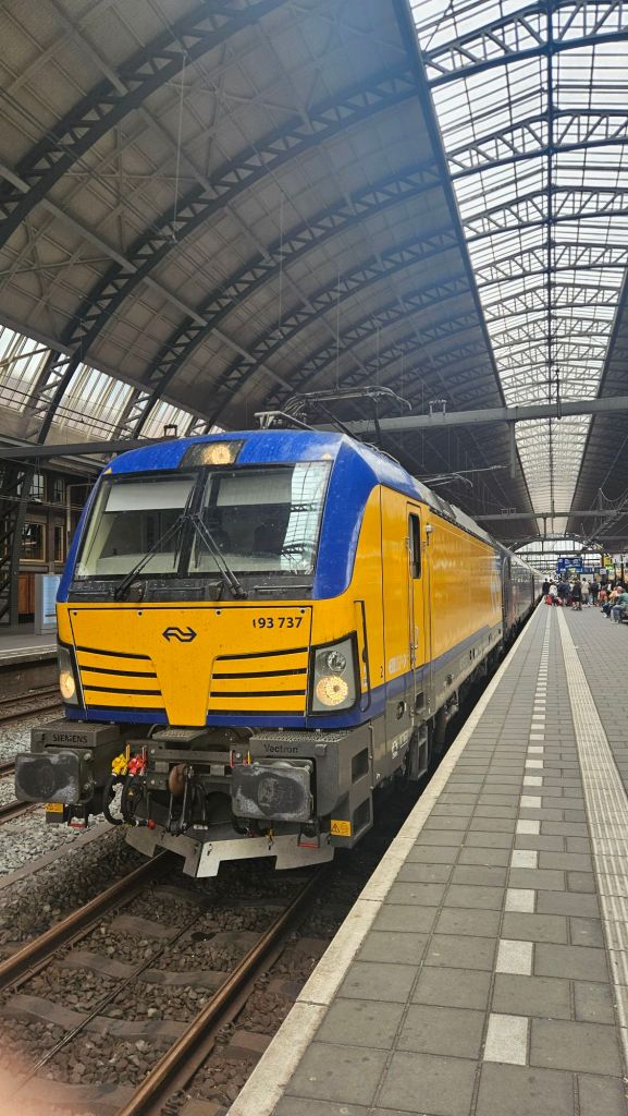
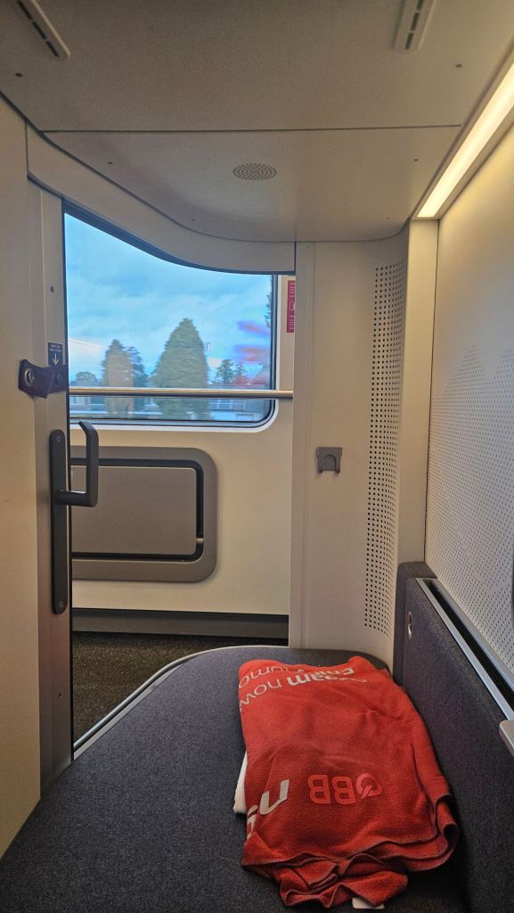
- Kill time in the city for 5 hours
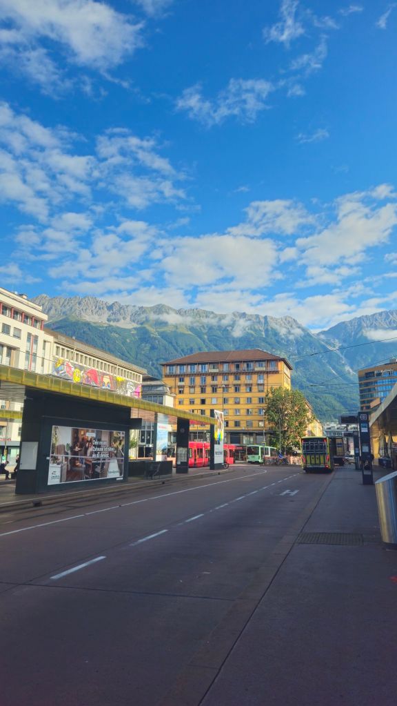
- Onto another train to cross the border into Italy (shout-out Schengen Zone)
- Lastly, onto a bus to my final destination, the ski resort town of Madonna di Campiglio
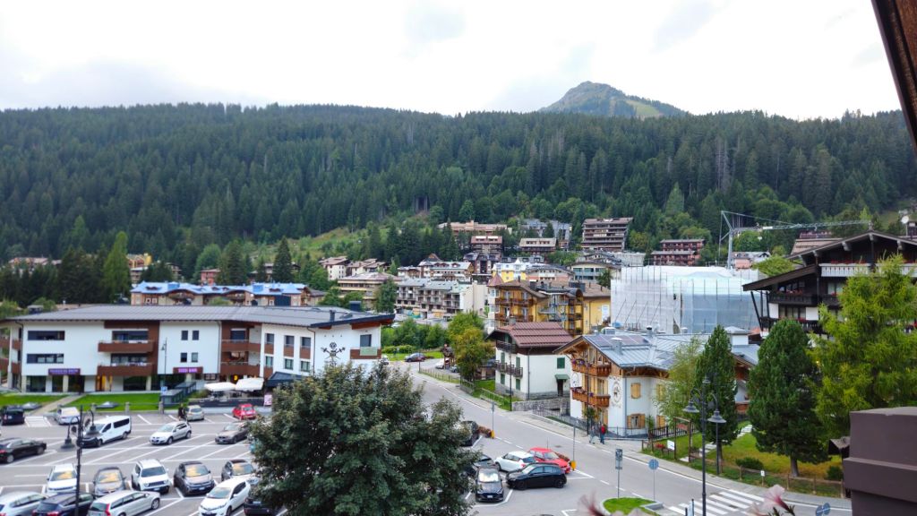
I only had one night in the town before I began my four day trek through the Brenta Dolomites. Similar to my Norwegian trek in that I’d be staying in mountain huts along the way, but apart from that I had no idea what I was in for.
Day 1: Madonna di Campiglio to Rifugio Alimonta
Stage Length: 11.72 km
Song Currently Stuck in Head: Bella Ciao
Hooray, I found somewhere that starts breakfast early! Felt good tucking into some food before 8am; looking at you, Norwegian huts. An early start I figured would be a good thing for today’s walk.
Quick note about the title and itinerary that I followed: both are completely made up. From researching hiking in the Alps, I came to the conclusion that they don’t have set, named tracks per se in the way that Australia and NZ do. Instead they more have a huge network of paths that you’re able to stitch together at your pleasure to make the hiking adventure you’re after. I learnt about this area of the Dolomites from a travel blog, but I then was able to plot out my own route instead of just following what that author did.
With that out of the way, let’s get onto today’s journey. It was, essentially, just going up from Madonna.
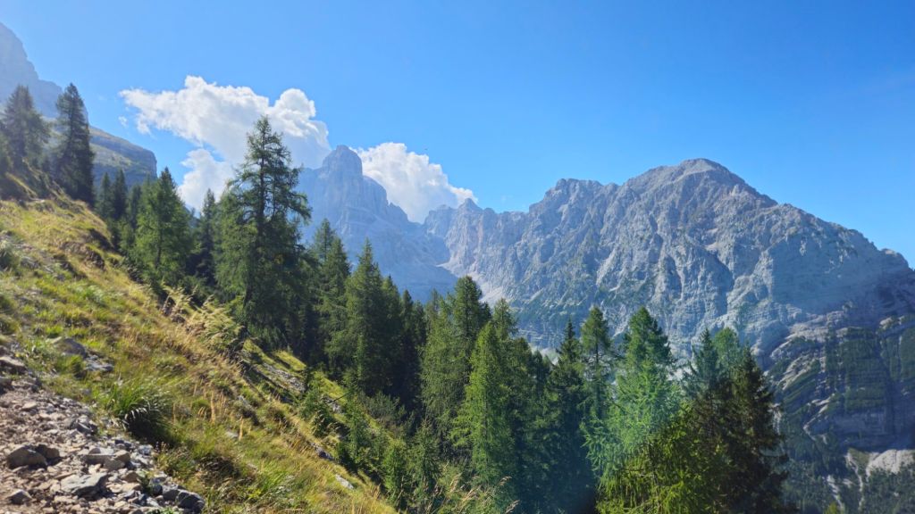
Keep in mind Madonna already sits at 1500m, so today’s trek would take me into uncharted territory. The highest I’ve reached on foot is Mt Kosciuszko which is only 2200m high. The Dolomites are a fair bit higher than that.
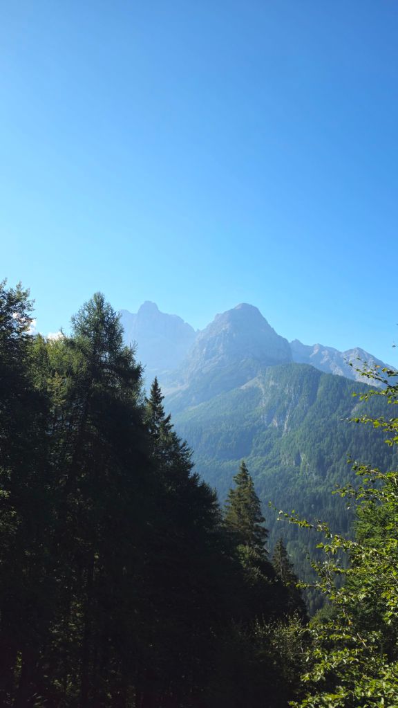
I wasn’t going on any summits, that would require proper climbing gear and this is first and foremost a hiking trip, but I would still get pretty close to some of them. The first bit, however, was a nicely graded walk through a forest. That of course meant that the actual climb would be steeper than the average grade would have you believe.
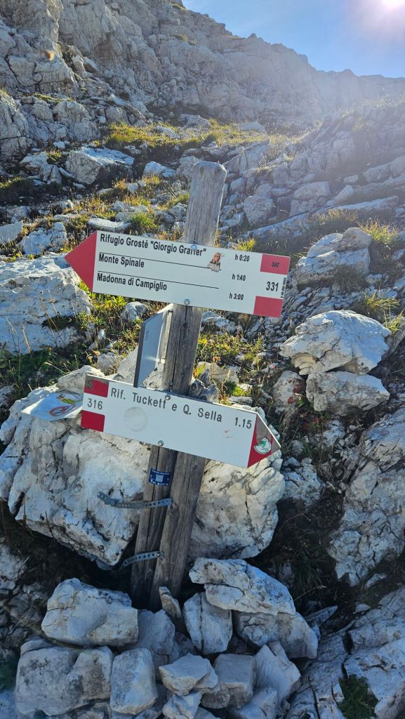
To help with wayfinding in these mountains, you’ll find signposts at almost every track junction. They’ll tell you which direction to do, how long it should take you, and the path number if relevant.
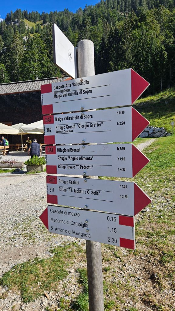
I had already worked out which number paths I needed to take so these didn’t come as a surprise. What did was a big sign warning me that bears are present in the area
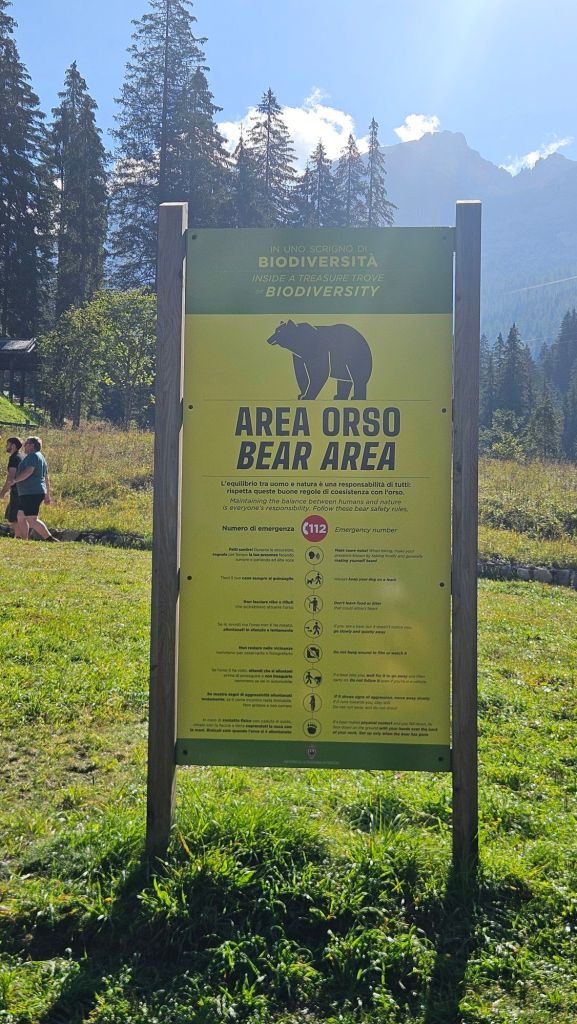
Say what you will about Australia having tonnes of dangerous animals, most of them are pretty small and will more often than not get out of your way. Bears are big. I can’t exactly walk around a bear like I can with a snake. Odds are I won’t see any as there’s a decent amount of foot traffic on these trails, but still. That never came up in my research.
Bear-induced paranoia done with, the climb now began in earnest. As expected, very steep. Watching the elevation gain tick up on my watch was an encouraging site despite my heart protesting loudly. Not long after beginning, the forest opened up to a clearing that contained a hut named Rifugio Casinei.
It made for a good excuse to stop for a break, but it was still early and the threat of an afternoon storm meant I didn’t stick around. So, guess I keep going up. The path was super clear, but just to be sure red and white blazes had been painted on the trees and rocks to denote the trail.
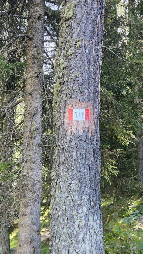
I got to the treeline very quickly. Not pace-wise, just the fact I was gaining altitude very quickly. And oh my word, what a sight.
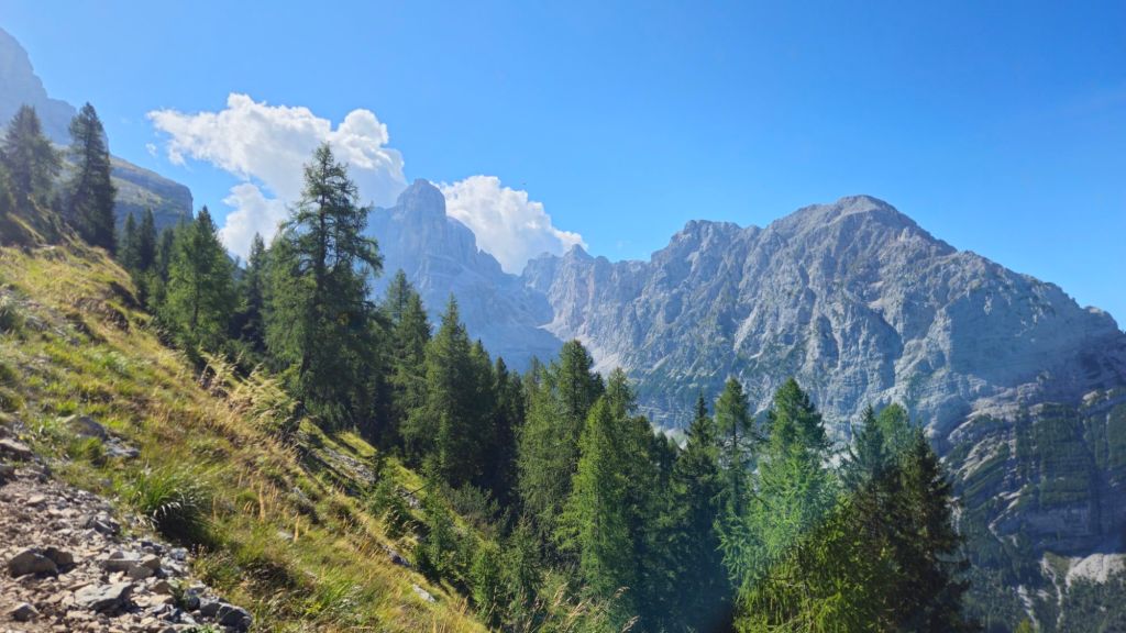
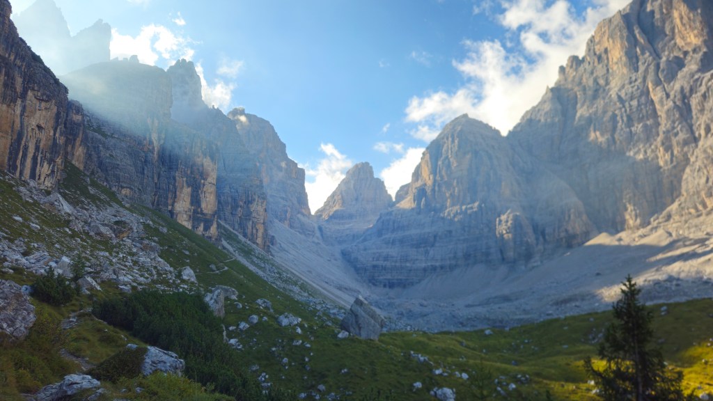
These mountains are a different breed. They’re immense, huge towering masses sheltering the valleys below.
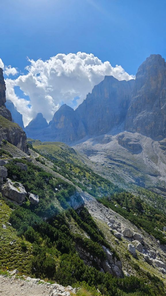
It was hard to keep walking, all I wanted to do was stare at these magnificent peaks for the rest of my life. That said, I didn’t fancy becoming a modern day Narcissus, so on I walked. Now above 2000m the track eased up a bit and I was treated to a trail that skirted round the edge of the mountainside, all the while being watched over by Cima Brenta and many other peaks.
A handful of hikers passed by during this time. I’m getting used to replacing the classic g’day with a ciao or buongiorno (I still haven’t worked out which is more appropriate to use). Then, seemingly out of nowhere, the next hut appeared.
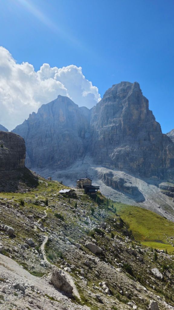
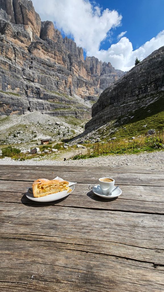
Seriously, seeing a building of this magnitude in this spot doesn’t make sense in the slightest. Not that I’m complaining, I want some lunch. Inside there were a selection of cakes on offer plus a full menu of hot dishes. Not feeling super hungry nor wanting to pay for a full meal, I ordered, in a mix of English and broken Italian, a slice of apple cake and an espresso.
Now for the last stint to my hut for the night. It’s all up. Just, straight up. It was hard to see where exactly the path could be going, so I had to trust the painted blazes were leading me in the right direction.
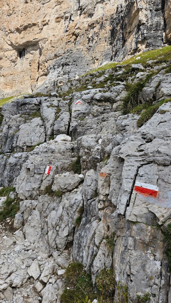
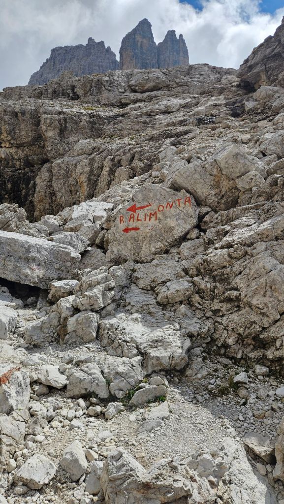
The surface varied between scree and short scrambles over white boulders. I spent way too much time checking the altimeter on my watch, begging for the hut to be around the next corner. At what must’ve been the 10th time of asking, it did appear, and what a hut it was.
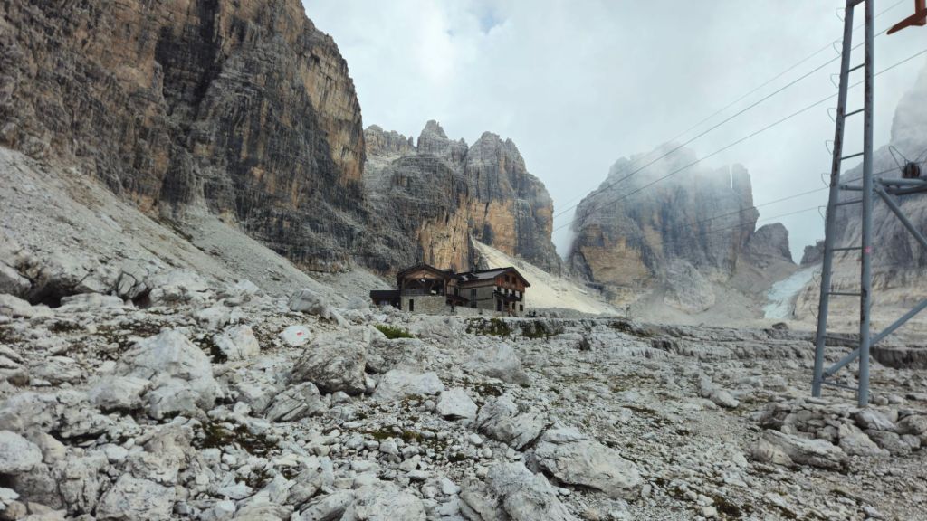
Rifugio Alimonta is I believe the highest mountain hut in the Brenta Dolomites at 2,580m asl. For the location it’s quite an impressive structure, with 3 floors, multiple rooms to sleep in, and a large dining area. It was also in a very impressive area, surrounded on 3 sides by towering mountains.
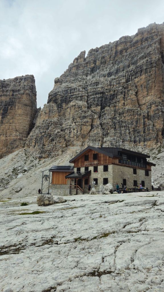
I had got here remarkably early, before 2pm, so I did have to wait a bit before I could check-in. Similar to the Norwegian lodges, your booking also comes with half-board (3 course dinner and breakfast). After a good rest, dinner was served at 6pm. On the menu tonight was a plate of spaghetti, a beef stew, and the choice of yoghurt or espresso for dessert; I went with the latter. I was assigned a table with a British couple named Ben and Joanna, and 3 Germans. They were all doing the via ferrata routes in the area which I’d love to come back and do someday.
Bellies full, I got tucked into a very warm bed, ready to do it all again tomorrow.
Day 2: Rifugio Alimonta to Rifugio Agostini
Stage Length: 13.16 km
Song Currently Stuck in Head: Espresso Macchiato by Tommy Cash
It doesn’t seem real that I can rest and wake up in the middle of the Dolomites. Very grateful to have the opportunity to explore these mountains. Speaking of which, there was more to explore today which would involve a lot of climbing, so best get going early. Thankfully, breakfast is much earlier in these parts, so I was ready to hit the road before 8am.
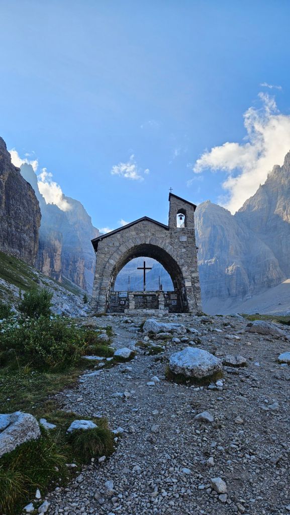
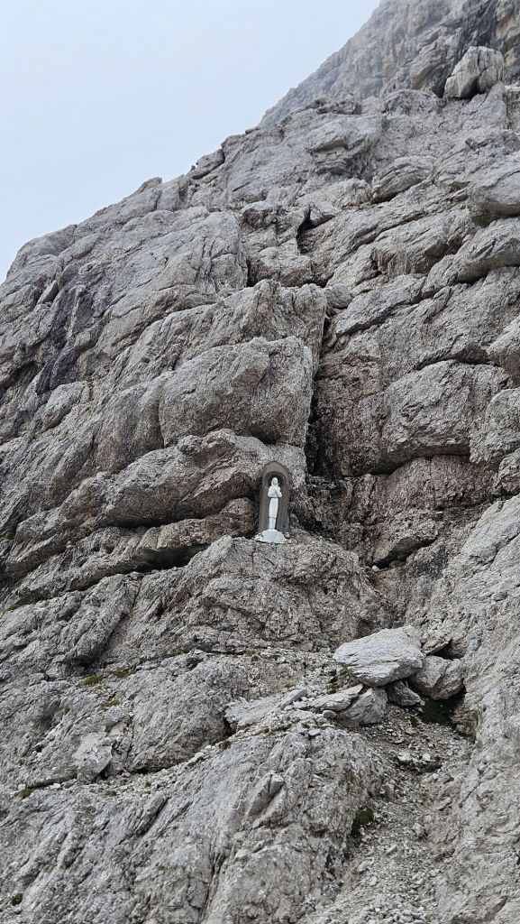
Descending is still my weakness when it comes to hiking, I was very slow getting back down to Rifugio Brentei. In my defence, I got down in one piece. Now to turn left towards my next destination, passing by… honestly not sure what to call this; a shrine, a chapel? Hard to say.
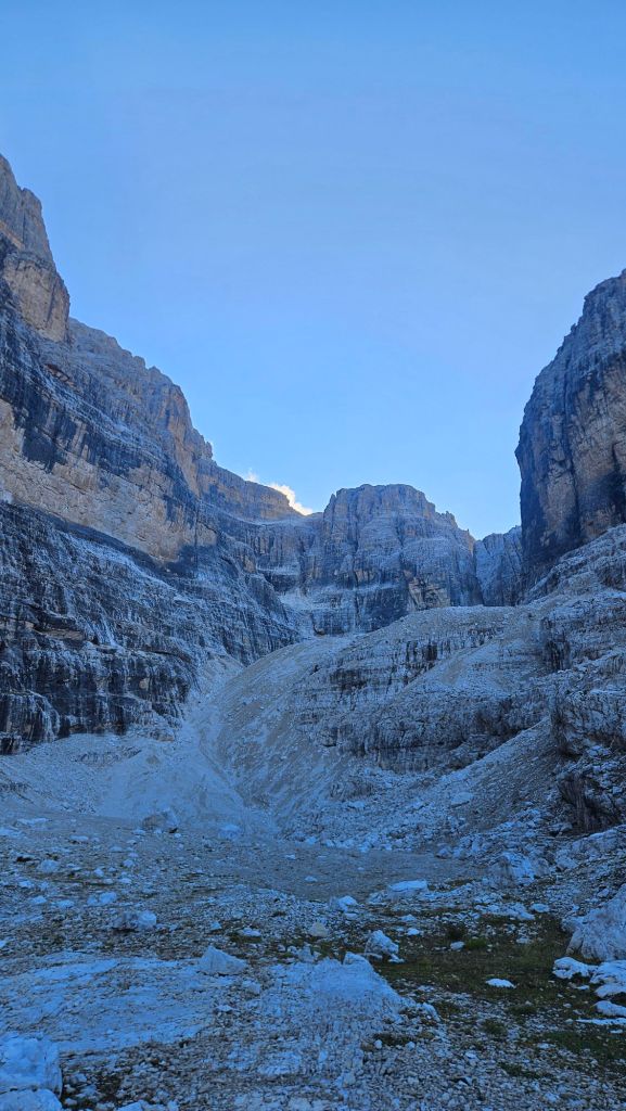
This is where I should’ve taken a better look at my map to work out what lay ahead of me. I was sidling up a valley, but I could see that valley end a few kilometres ahead. There was a narrow pass between two peaks, but surely that’s not where I was going, right?
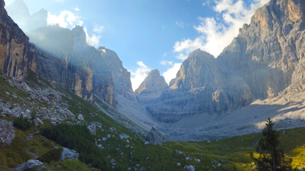
Well, I was still walking towards it, and there was no easier way out of the valley. Oh boy this is gonna hurt, isn’t it?
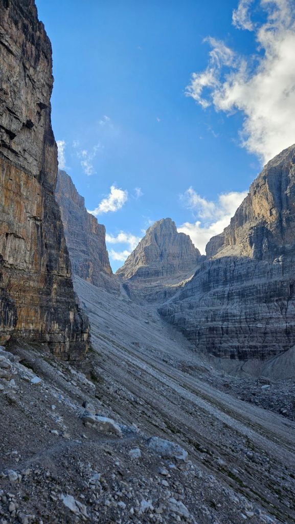
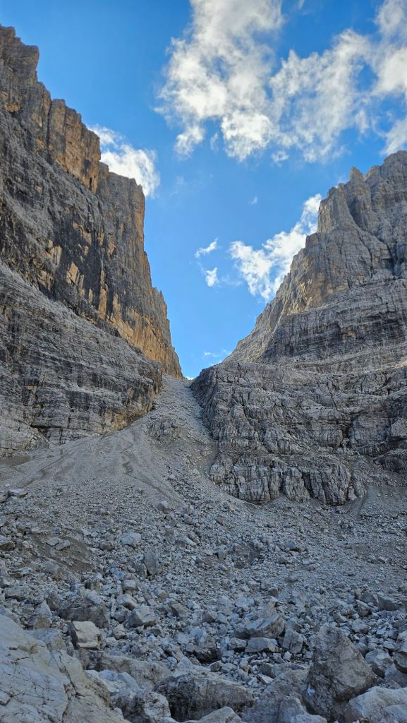
At first it looked like I’d have to send it straight up the scree to the left. Let me tell you, it was way steeper than that photo shows. I started climbing it, but something in me didn’t feel right about it. A check of the map and a quick visual scan helped me find the actual route up. Slight problem: it was up a ladder.
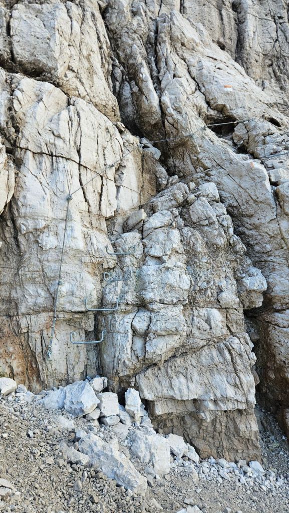
Everything I had researched on this route pointed to it not having any sections of via ferrata. Quick explanation in case you’re unfamiliar with this sort of stuff, via ferrata are pathways through the mountains that are sort of a hybrid between hiking and rock climbing. It involves sections along narrow ledges, ladders, narrow bridges, all through terrain that should be impassable. Doing a via ferrata requires safety gear (harnesses, helmets, etc.) which I didn’t have. And now the blazes on the rock wanted me to do one. Ok, let’s give it a crack.
It lasted all of 50 metres. Then I was back on a normal trail. Bit anticlimactic, I know, but I’m kinda glad it was. That said, the trail was no less steep and the climb up to Bocca di Brenta took ages. The top part was just pure scree, think two steps forward, one step back. Finally, heart pumping very loudly, I made it to the top.
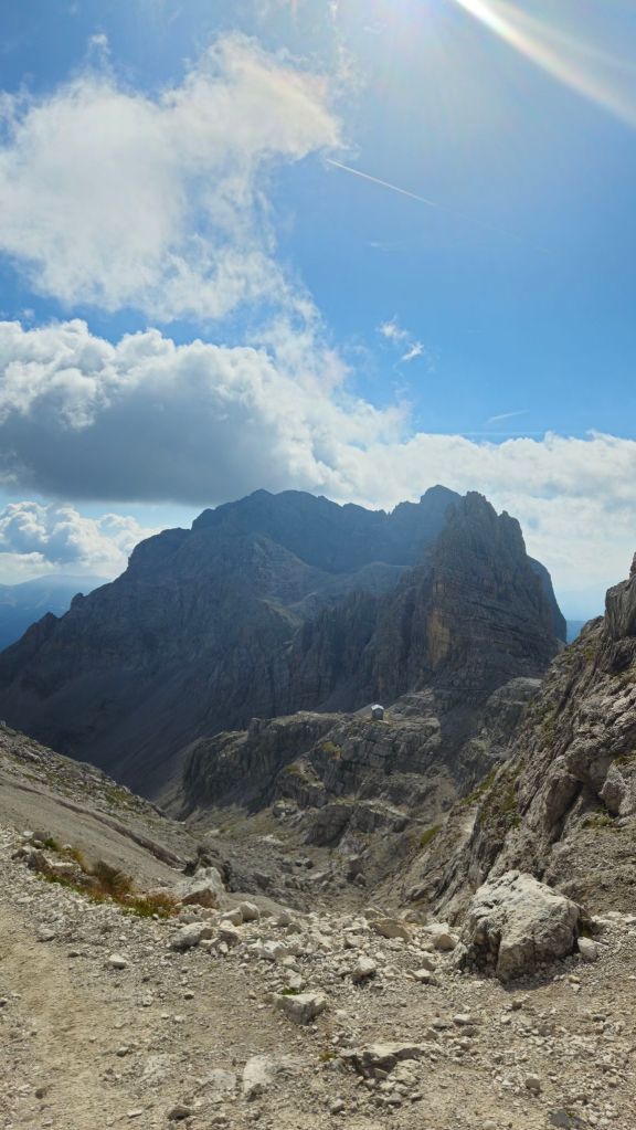
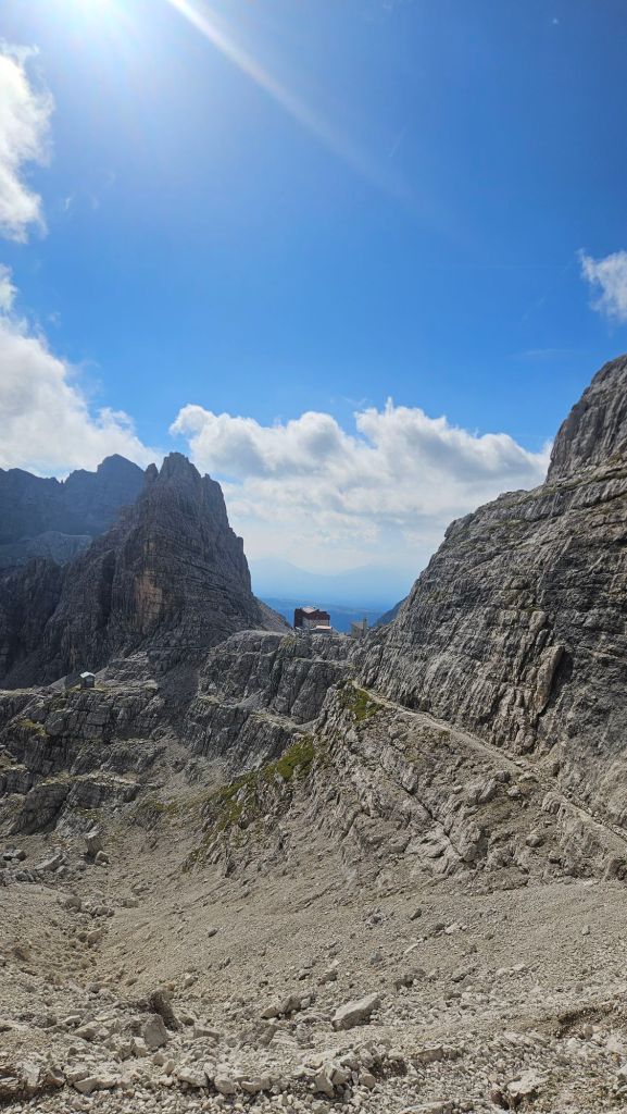
Well that’s convenient, I thought I had way further to go to reach the halfway hut. Could be a nice spot for a coffee and a snack or two.
Well, it could’ve been. There were some renovations happening inside so there wasn’t much room to sit and rest. Bit of a shame, I just downed a few snacks and hit the road again.
My destination for tonight is Rifugio Agostini, which has a number of via ferrata routes linking it with my current location, and one (I believed) normal hiking route that was way less direct but wouldn’t require any gear to complete it. At least I hoped so. After the surprise on the climb to the pass, I didn’t know what to think anymore. All I could do was start walking and see what I found.
Well, spoiler alert, it was free, but still a bit sketchy in places with plenty of steep climbs and drops, interspersed with a few nicer parts as a sort of rest period from the pain.
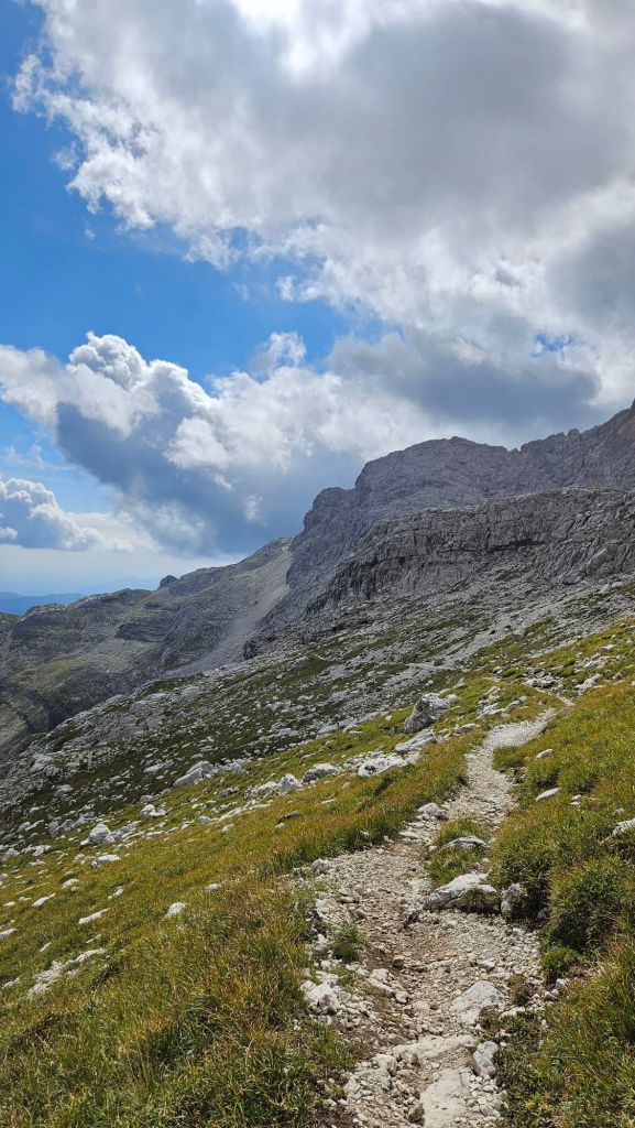
With parts of the trail still needing a wire handhold and there being plenty of steep switchbacks on both the climbs and drops, it was slow going. Without having another person with me to manage my pace, I tend to fall into the trap of wanting to go quickly and exerting myself more than what is required. Plus my competitive nature sees every time estimate on the signs as a challenge to see how much faster I can go.
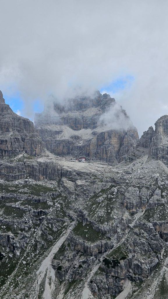
The views disappeared in the last hour of my walk today. The weather pattern in these parts seems to be super clear morning with thick clouds forming after lunch time, occasionally followed by rain. No rain today, but every peak in the area was covered in a grey shroud.
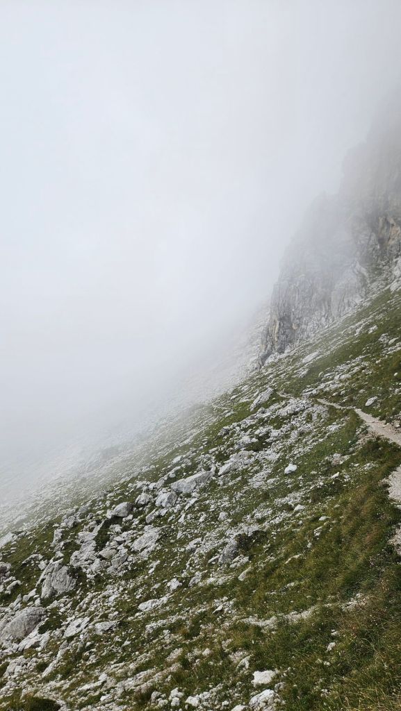
At least the climing had died down and now I was back on a nice path. Couldn’t see where that path was going but that wasn’t important. I could still see trail markers so the hut had to be close.
It was.
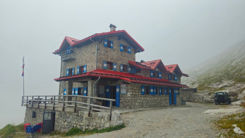
Agostini is a bit smaller than Alimonta and has a more traditional feel to it. I was the only one there when I arrived, guessing everyone else staying here would’ve gone over the slower via ferratas. No matter, plenty of time to grab a coffee and get first pick of the beds. And oh joy, it’s a small room, not a dormitory!
More people slowly rolled in as the hours ticked by, as the the clouds which got thicker by the minute, even bringing a bit of rain for about half an hour.
At dinner I joined a group of 3 Brits from Manchester and we got treated to another excellent 3 course meal. Big difference from Alimonta, however, were the portion sizes. Agostini does not do things by halves. The first course was a spaghetti carbonara, a lot of spaghetti carbonara. Frankly that would’ve been enough as is, but then I was given a huge chicken schnitzel and apple strudel for dessert. Bursting at the seams, I got ready for bed. I’ll need the calories for tomorrow’s journey.
Day 3: Rifugio Agostini to Rifugio Tuckett
Stage Length: 14.91 km
Song Currently Stuck in Head: Like an Avalanche by Hillsong United
It’s a shame that in such a nice hut I couldn’t get a good night’s sleep. Constantly waking up because I was either too warm or too cold. Ah well, can’t be helped, all I can do now is eat breakfast and start walking.
Most of today’s hike would be spent backtracking what I did yesterday. The hard climbs would now be hard descents, and vice versa. At least I knew what the terrain would be like. I’ll spare you most of the details for the first half as it passed by uneventfully, the only major difference being that I actually had some awesome views this time instead of cloud covering everything.
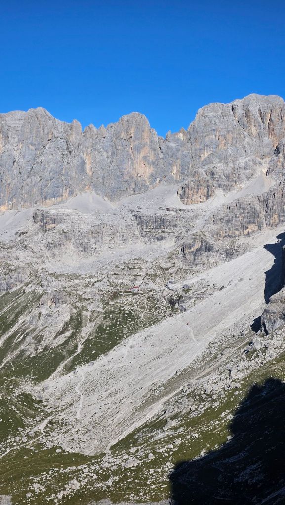
After grabbing a tea at Pedrotti, I was then faced with a descent off Bocca di Brenta. Remember, that punishing climb with ladders and scree I went up yesterday? Well doing it in reverse was going to be a slow affair to say the least.
The scree was mostly concentrated at the top of the pass (I actually don’t know what Bocca means in Italian, but the vibe I get from it is mountain pass), which I got down by white knuckling my poles and making small, gingerly placed steps. There was zero need for me to go fast. As the terrain got more stable I scanned around looking for any trail markers that would guide me down the rest of the way. That of course led to the ladder and cable sections. The consequence for getting something wrong here was high, but I was locked in and descended them safely without much hassle.
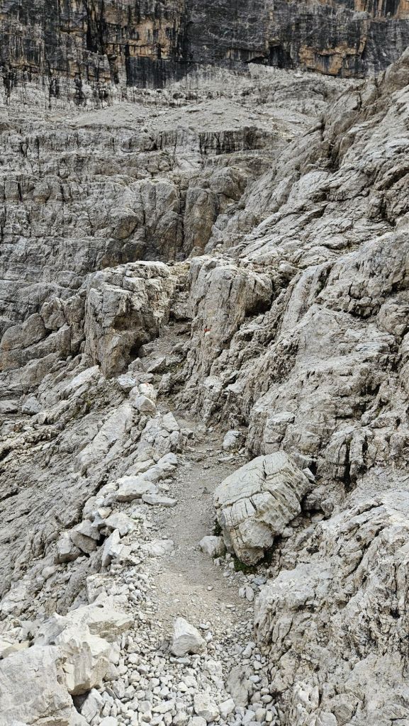
Across the boulder field and back onto the nice path that had brought me up from Brentei yesterday, I made quick work of it and arrived at the rifugio in time for a cappuccino.
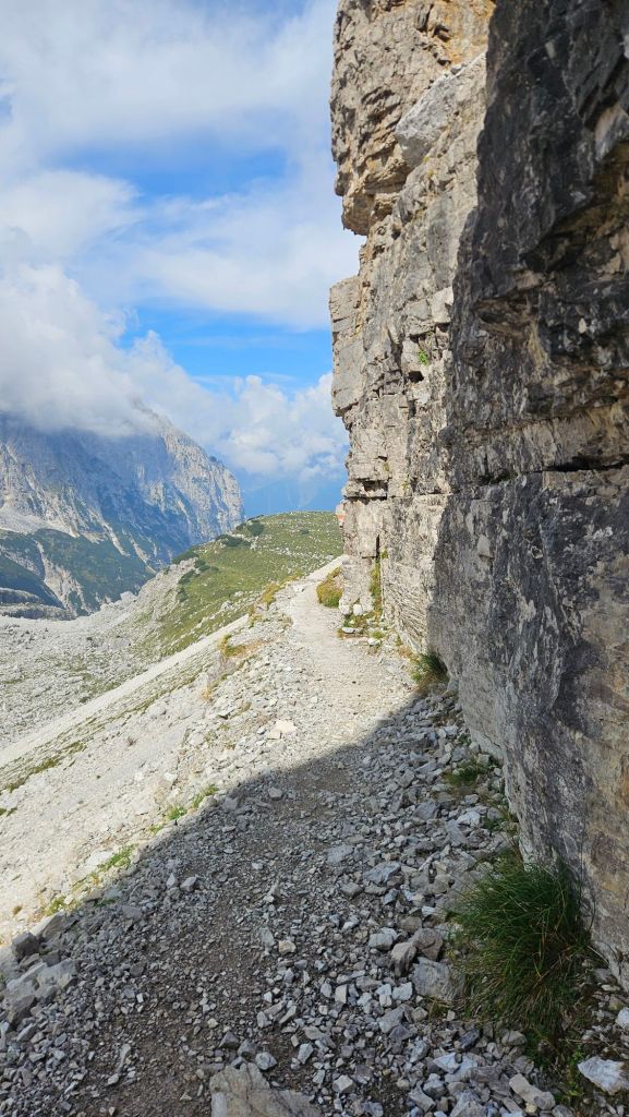
Now for the new bit. Well, almost. I still had a short backtrack along the path I took on day 1.
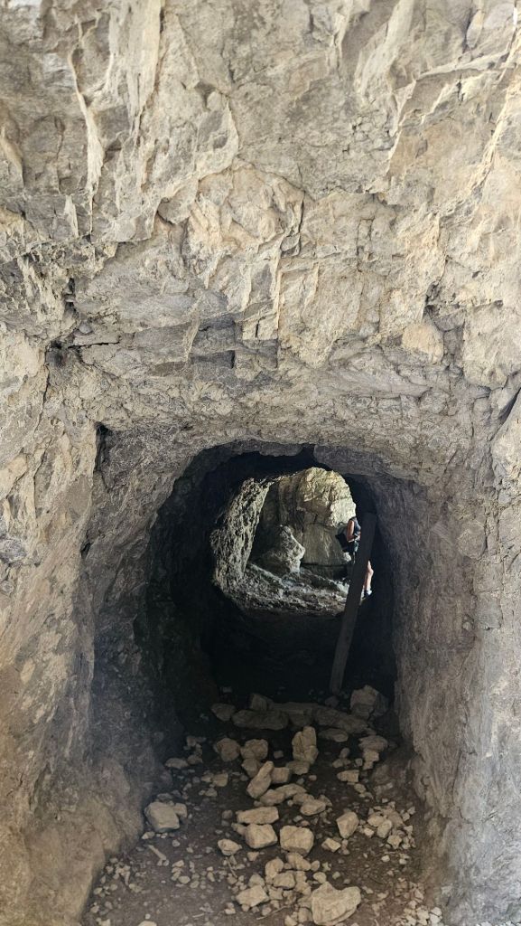
Ok, now for the new bit up to tonight’s hut, Rifugio Tuckett. Guess what, it involved more climbing, starting on a classic mountain trail…
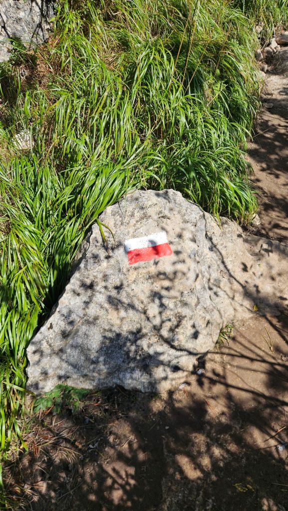
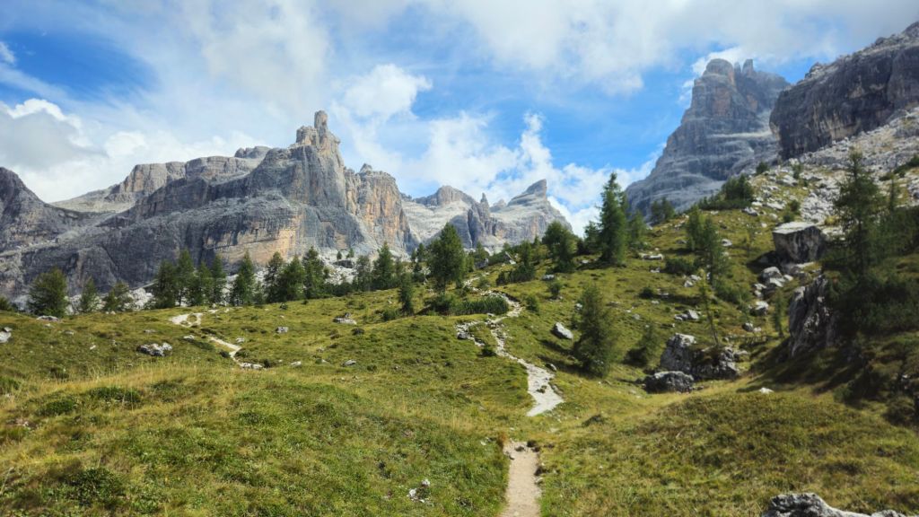
…that led me straight into a boulder field.
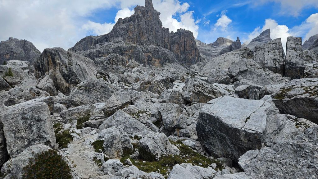
Look, there was at least a marked path through them. It was rocky (obviously), but I didn’t have to spend any energy hopping between rocks and praying they were stable. It was mercifully short, and on the other side was another of Italy’s super cosy mountain huts.
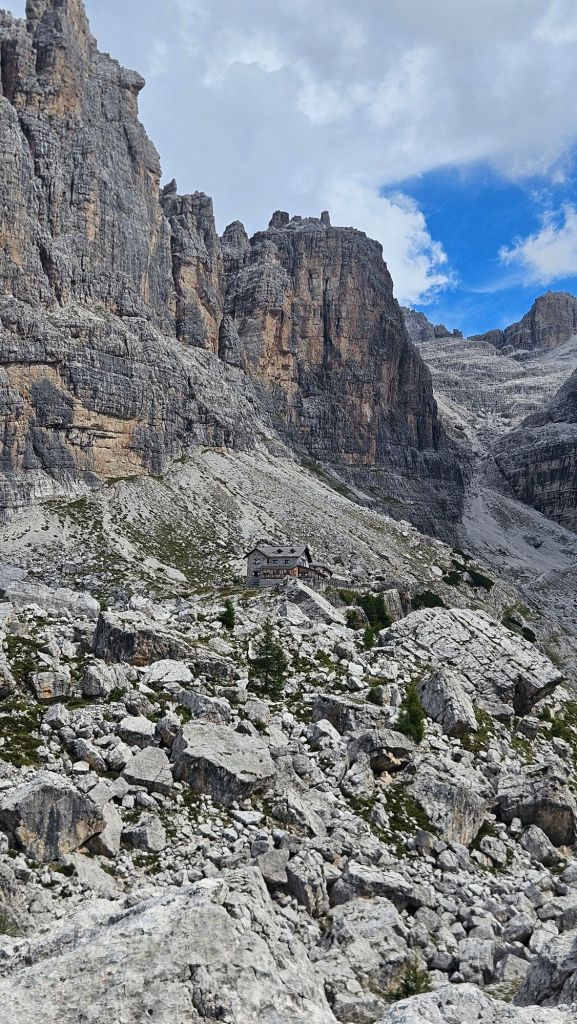
Tuckett is on the bigger side compared to Agostini and was quite busy when I arrived, although I soon deduced that most of the people there were just passing through for lunch. That’s been the general theme of this trip; because I’m not doing any technical via ferrata I’m always one of the first overnight guests to arrive.
I got settled in and had a quick nap in my bunk before heading down for dinner. I sat next to a group of Americans and a Spanish couple as we were served heaping plates of delicious Italian/Germanic food (historically the province these mountains are in has flip-flopped between Italy and Austria so the traditional dishes from this part reflect that history). I was planning to then get an early bedtime… until I heard an Australian accent on the table next to mine. So, quick change of plans, let’s talk to the Aussies and their German friends also seated there for the next hour. No regrets at all, it was a great conversation.
Day 4: Rifugio Tuckett to Madonna di Campiglio
Stage Length: 11.94 km
Song Currently Stuck in Head: Freed From Desire by Gala
Going back to the real world is always a bittersweet occasion. You look forward to the extra luxuries that are waiting for your return, but you know they come at the cost of leaving somewhere remote, quiet, and beautiful. Plus, being in the mountains, it also means a big ol’ descent that is gonna really test out the quads.
That would have to wait a bit, however. Leaving Tuckett, the trail started by going uphill through another boulder field. It was another one of those cases where I had to get across to a neighbouring ridge but couldn’t exactly get there as the crow flies.
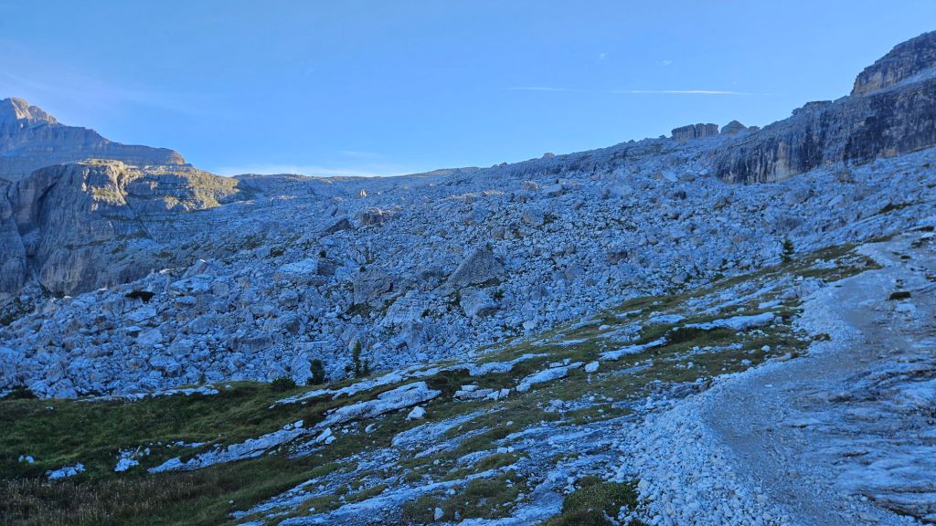
It was slow going through the boulders, but ironically enough I had the opposite problem that I had in Norway. My hotel’s check-in was at 2pm, so there was no point in me getting to Madonna any earlier.
So I tried just cruising. Not rushing in the slightest. And I was still going faster than the time estimates written on the signs which again, ironically, was not a good sign.
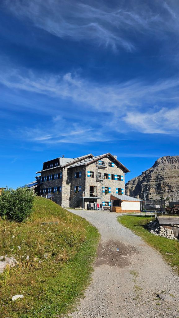
Ok, so we’re gonna have to get a bit creative in the time-killing department. Shouldn’t be too hard, out of the boulder field I entered the main ski fields above Madonna. Well, they would be ski fields in winter, but even in summer there was a gondola running up to the top of Passo Grostè and a chairlift undergoing a test run. My route took me just below the pass to a rifugio. As it was still early, I assumed the staff would still be tidying up after last night’s guests had left so I just sat down outside and had some snacks. As it turns out, there was an ultramarathon happening over these trails the weekend after I left, and there were a team of people setting up signs and marking tape around the area. Guessing this rifugio is an aid station.
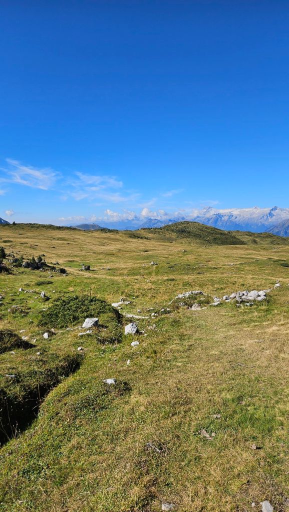
The paths from here on out are much easier to walk on than a boulder field. To be fair that’s a pretty low bar to set. It was a mixture of single trail and grassy meadows that look suspiciously like a scene out of Middle Earth.
We were now fully in the ski field and with that in the summer comes a lot of day walkers, so I did stick out a bit with my large pack on. My next stop for the day was… well I’m not sure what it’s official name is, but it’s a cafe at the summit of a hill that also contains a gondola station. A cafe that, of course, has a coffee machine. Good, more time to kill.
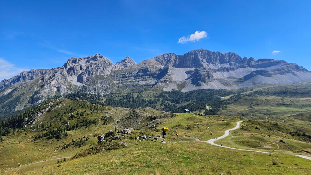
I could now see Madonna di Campiglio down in the valley below me. A long way down, but still very close, so it was inevitable that I’d arrive before check-in opened. Ah well, I’ll just find a park somewhere to rest.
Small silver lining about the path down: it’s all switchbacks. Look, there’s only two options when faced with needing to gain/reduce altitude in a short horizontal distance: either straight-line it and pray you remain upright, or switchbacks. The Italians have clearly not visited New Zealand for which I am grateful.
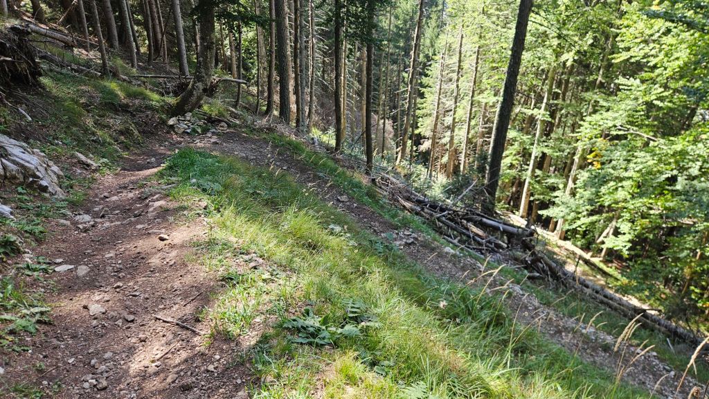
The pine forest got thicker the further down I went as did the shade it provided. I did notice the weather getting progressively warmer now that I was back below 2000m.
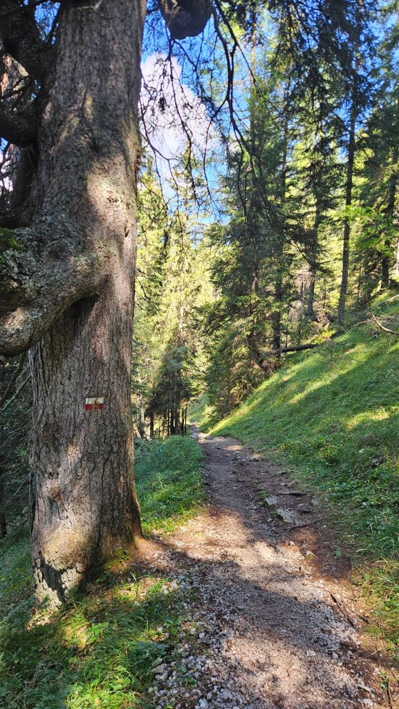
In a remarkably short time I returned to the path that brought me away from Madonna four days ago, and as expected I had over an hour until I could check-in. So, off to the local park I went.
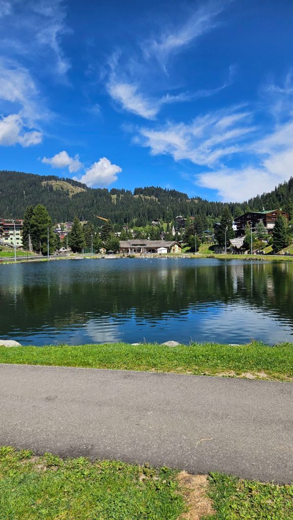
All good things must come to an end, so they say. Truthfully if it was possible to live and work in these mountains, I’d be tempted to take up that offer. At the same time, perhaps spending every waking second in the Dolomites would make it lose its charm. Perhaps it’s better that experiences like these are few and far between to make them more special.
All that said, I’m not leaving Europe just yet. Still got a few places to see.


Leave a Reply