

Date: 10th November 2023
Start: Hone Heke Lodge, Kerikeri (km 221.7)
End: Peppertree Lodge, Paihia (km 244.7)
Distance Travelled: 23 km
Total Distance Completed: 238.1 km
Song Currently Stuck in Head: Praise by Elevation Worship
General Health: 3.6 roentgen (not great, not terrible)
It always feels a bit weird walking again after spending a couple days not doing much at all. The comfort of the hostel kept calling to me as I packed my bag to get ready to leave. But that’s not what I’m over here for. I can’t reach Bluff if I cool my heels in a Kerikeri hostel for 4 months. Vicki, Melly, and Maeve would also be heading off today and I’d like to stick with some familiar company. I really ought to make a list of the people I’ve met on trail and talked about in this blog; it’s getting rather difficult trying to keep track who I’ve mentioned in here already and those who still need to be introduced.
The start of today’s walk was a continuation of the lovely path along the Kerikeri River that I took a couple days ago. After a few km, this path spat me out at the Stone Store, the oldest stone building in New Zealand.

This area around Kerikeri and the Bay of Islands has a lot of history behind it, as this was the first area of Aotearoa to be settled by Europeans. I really ought to spend some time researching the history of Pakeha settlers and their relationship with Maori. Looking at it from the perspective of a white Australian, I’ve always seen the relationship between white Kiwis and their indigenous counterparts to be a lot better than what we have across the ditch (see the recent referendum). Of course, not being indigenous myself, I’m not really in a position to make these sort of claims, hence why I’d like to look into it further.
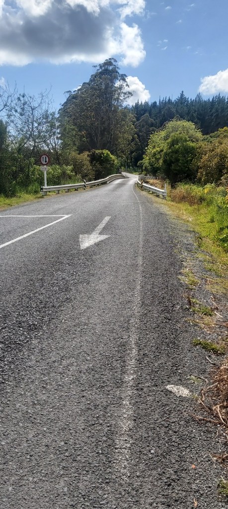
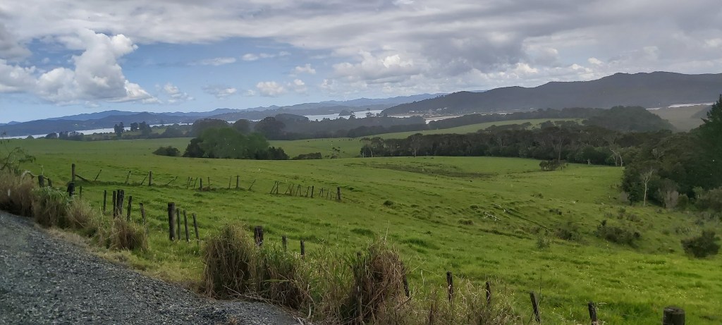
Now on the outskirts of Kerikeri, the track followed a pathway until that ended, leaving me with a rather precarious road walk for about half an hour. This included a one lane bridge which I always dread having to cross.
At the top of the hill shown in the picture above is a track leading into a forestry area. The trail notes caution walkers to be wary of forestry trucks and other operations happening close to the trail, but I only ever saw one truck the entire time I was in there. As advertised, I passed by many a bare hill where trees once stood. I presume they’re an introduced species that was brought in specifically for logging so I’m not that bothered by it.

One of the side-effects of these bare hills was that I could get a clear view of the sky. Let me tell you, it wasn’t looking too friendly. I was right, with rain starting to fall only a couple km into the “forest”. One quick pit stop later and I had rain gear on me and my pack, and not a moment too soon as the slight drizzle turned into a heavy shower lasting for around 10 minutes. I kinda just zoned out, focussed on the podcast playing in my ear and not on how wet I could potentially get. I trusted in my rain gear and apart from some wet hands, I was perfectly dry. Ironically, I got wetter after the rain stopped thanks to a build-up of sweat, particularly on my legs. I was reluctant to take them off as I could see more rain coming, so I just sucked it up.
Lo and behold it did start raining again, less heavier than last time. It was nearing the point when I was hoping to stop for lunch which I didn’t exactly fancy doing in the rain. Eventually, I walked into an unchopped pine forest which provided a decent bit of protection, although I still kept my rain gear on. The sun came out when I left the forest, giving me the best excuse to take off my rain pants and look in disgust at how sweaty my legs looked. That’s the trouble with gore-tex, it works both ways; water stays out, but also water can’t escape.
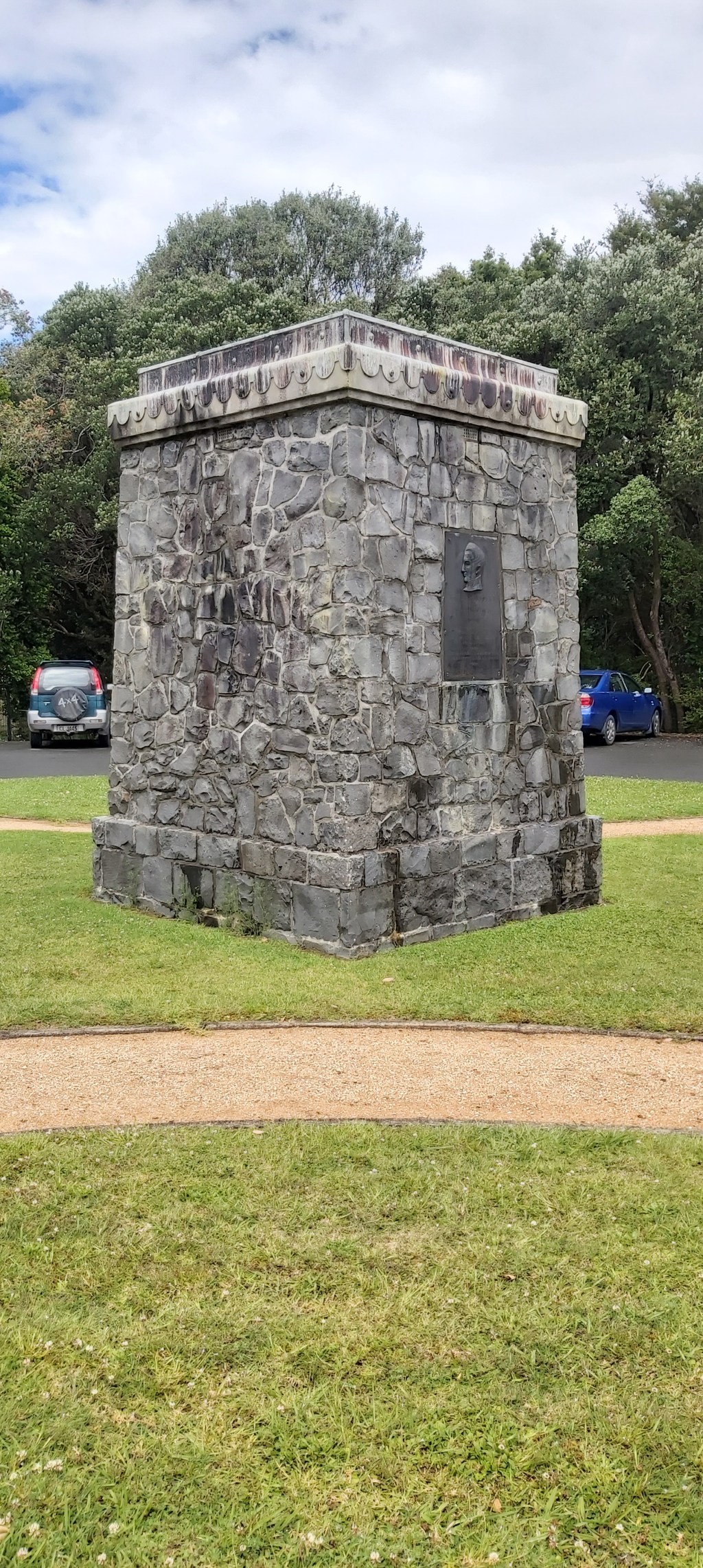
One steady climb later took me to a monument dedicated to the opening of the first section of Te Araroa in the 1990s. Officially the trail has only been running since 2011, but the first traverse of New Zealand on foot was completed in the mid-80s by a person whose name I can’t remember.
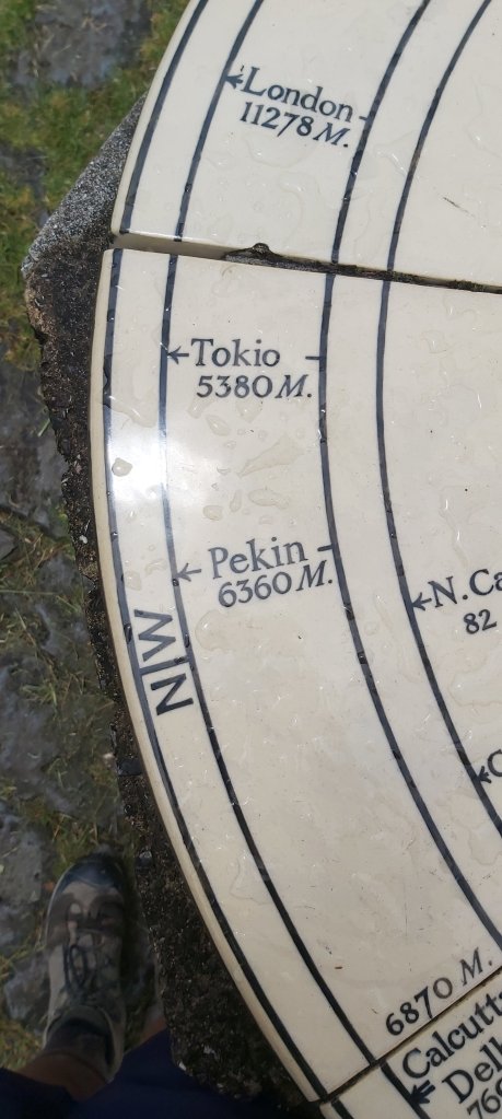
Nearby was a short side-trail up to Mt Bledisloe. Unfortunately I missed a great opportunity to make a simply spectacular joke by placing a cup on top of the mountain (rugby fans will understand). As is common on a lot of lookouts, a circular map of the surrounding area has been placed on a plinth, and it’s starting to show its age.
The descent from the mountain took me back out onto a gravel road looking towards Paihia. Before then, I had to go past a golf course and the Treaty of Waitangi grounds (add that to the list of things I need to research more).
It is indeed quite a small town, but my hostel was on the opposite side of it, so it still took me a solid 20 minutes to reach it once I entered Paihia, passing Vicki and Melly on the way. One violent coughing fit later and I was checked in, feeling mightily self-conscious at how much sleep I would be responsible for my roommates losing tonight. It was hard enough when I was sharing a room with my friends in Kerikeri, now I’m with complete strangers.
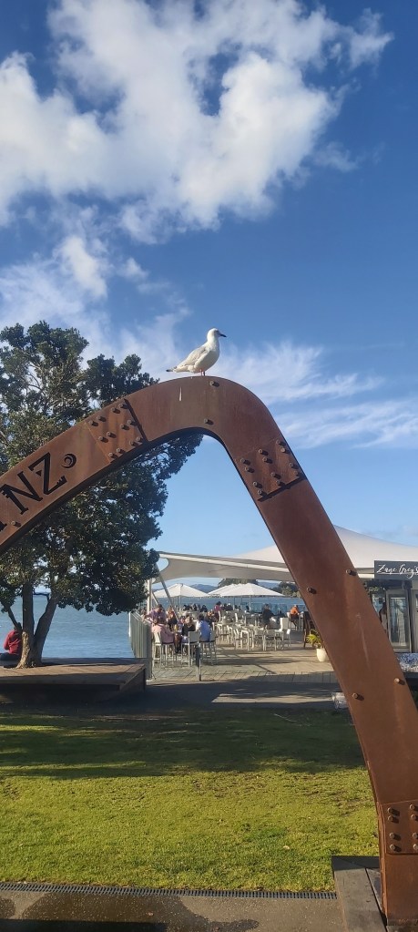
Not to matter, I wanted to explore this pretty town. So I did, passing by this lovely welcome sign.
A little later, I was joined by Vicki, Melly, Maeve, Tom, Eric, Linda, Will, and Toby (yes, this walk is getting very popular) for fish and chips on the waterfront. As small at Paihia is, it will be the last decently sized settlement we’ll see for a while. Tomorrow we’re heading towards a much more isolated part of Northland, which will be a but more logistically challenging. Thankfully, if there’s one thing in the world that I’m good at, it’s planning stuff.

Leave a reply to Ramsey Southward Cancel reply